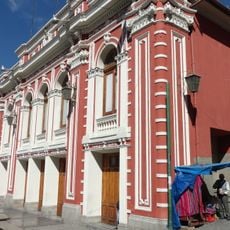
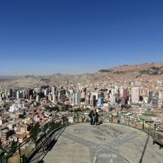
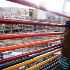
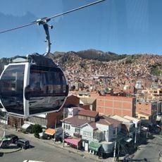
Yungas Road, Mountain road between La Paz and Coroico, Bolivia.
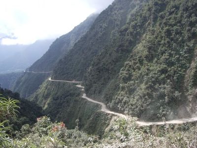
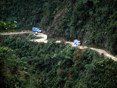
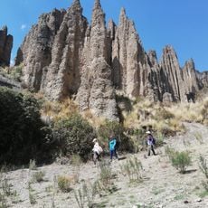
Yungas Road, also known as Death Road, is a mountain route linking La Paz to Coroico in the Yungas region of Bolivia. The path winds through steep slopes with rock walls on one side and sheer drops on the other, where many sections barely allow space for a single vehicle to pass.
Paraguayan prisoners of war built the route in the 1930s during the Chaco War to connect the highland plateau with the Amazon foothills. Decades later a new parallel route was completed, which now carries most heavy traffic and leaves the old stretch less traveled.
Farmers from the valleys still call parts of the route "Camino de la Muerte" in everyday conversation, though newer sections run parallel. Coca growers and traders use the old stretches to move produce between highland villages and subtropical zones, treating the tight bends as familiar daily business.
Drivers keep to the left side, opposite the usual Bolivian traffic rule, so they can see the cliff edge more clearly. Fog often forms in the morning, so starting later in the day or choosing clear weather is advisable.
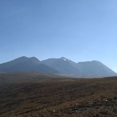
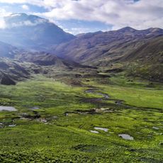
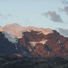
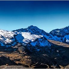
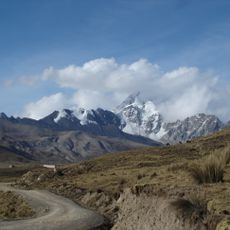
The elevation changes from over 4600 meters to below 1200 meters in roughly 60 kilometers, placing snowfields and tropical vegetation within close reach of each other. Cyclists now use the old sections more often than cars, experiencing the rapid climate shift firsthand.
The community of curious travelers
AroundUs brings together thousands of curated places, local tips, and hidden gems, enriched daily by 60,000 contributors worldwide.