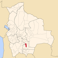
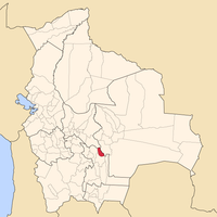
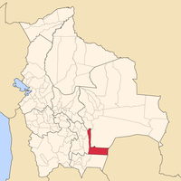
Chuquisaca Department, Administrative department in central-southern Bolivia
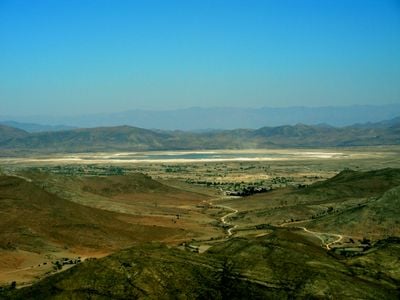
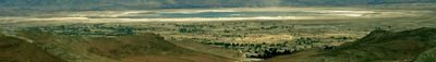
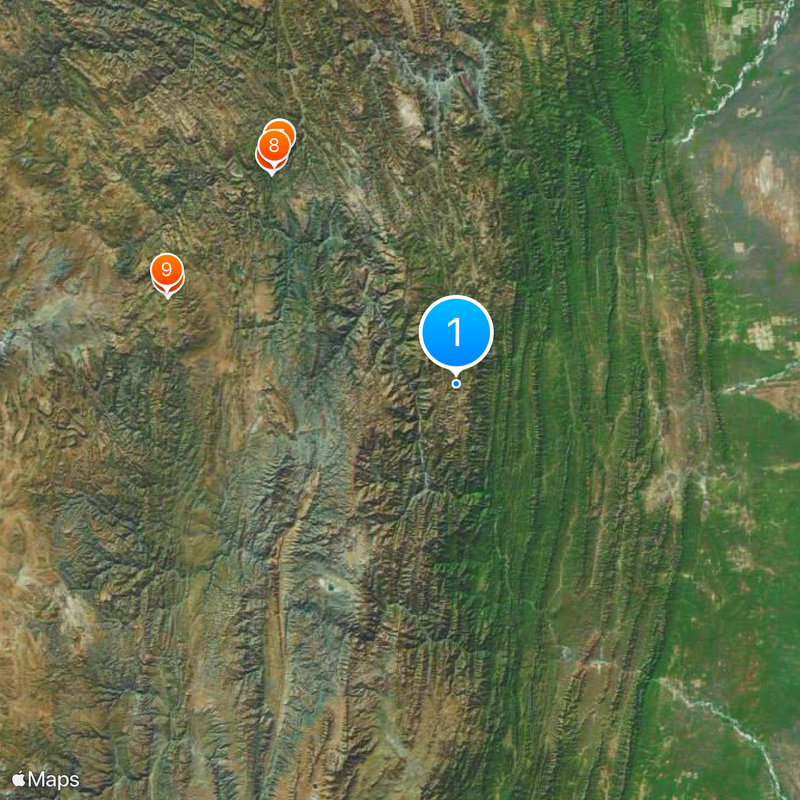
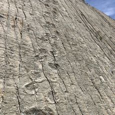
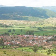
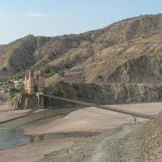
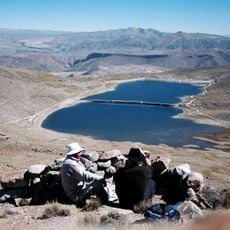
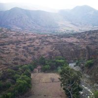
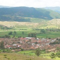
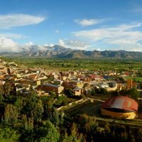
Chuquisaca is an administrative region in central-southern Bolivia, extending from the Andes into lowland areas. The area includes ten provinces with varying landscapes, from mountain ridges to wide valleys.
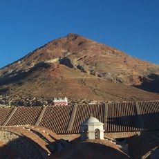
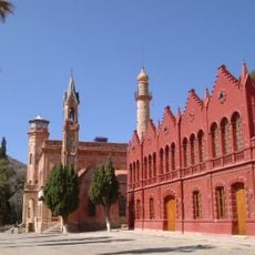
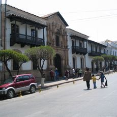
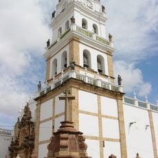
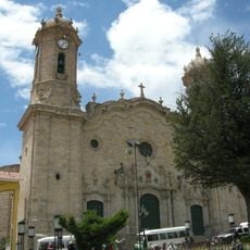
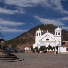
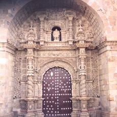
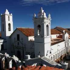
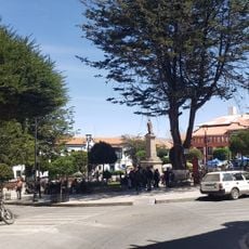
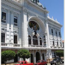
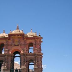
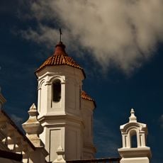
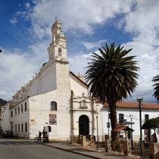
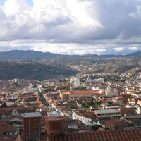
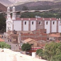
The Spanish founded the current capital Sucre in 1538 near silver mines and made the region an administrative center. Later, the area became one of the important locations during South American independence movements.
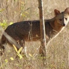
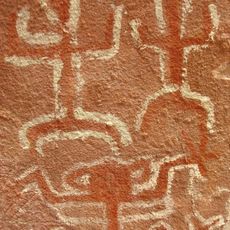
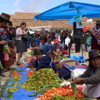
The name comes from the language of the indigenous Charcas, whose descendants continue living throughout the valleys. Many communities still speak Quechua in daily life alongside Spanish.
Administration functions through a legislative assembly with representatives from all provinces, coordinating regional programs. Travelers should prepare for changing elevations and climate zones, as conditions vary considerably across provinces.
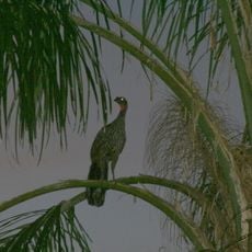
Different elevations create multiple microclimates within short distances, so subtropical fruits and Andean potatoes grow just a few kilometers apart. This variety lets residents combine very different harvests from neighboring valleys and slopes.
Location: Bolivia
Capital city: Sucre
Elevation above the sea: 2,554 m
Part of: South America Midwest Integrated Zone
Shares border with: Santa Cruz Department, Cochabamba Department, Potosí Department, Tarija Department, Boquerón Department
Website: https://chuquisaca.gob.bo
GPS coordinates: -20.00000,-64.41667
Latest update: December 4, 2025 23:00
Cerro Rico
145.9 km
National Mint of Bolivia
147.4 km
El Fuerte de Samaipata
212.3 km
La Glorieta castle
135.5 km
Cal Orck'o
139.9 km
House of Freedom
138.1 km
Sucre Cathedral
138 km
Cathedral Basilica of Our Lady of Peace, Potosí
147.3 km
La Recoleta Monastery
137 km
Estadio Víctor Agustín Ugarte
148.4 km
Casa Dorada, Tarija
173.8 km
San Lorenzo Church, Potosí
147.5 km
Estadio Olímpico Patria
139.3 km
Aguaragüe Integrated Management Natural Area
187.4 km
Iñao National Park and Integrated Management Natural Area
82.5 km
El Palmar Integrated Management Natural Area
162.8 km
Tarija Cathedral
173.9 km
Basílica de San Francisco, Sucre, Bolivia
138.3 km
Antonio José de Sucre Bridge
107.3 km
Plaza 10 de Noviembre
147.4 km
Palacio de la Prefectura de Chuquisaca
138.1 km
Inka Mach'ay, Bolivia
157.1 km
Torre de la Compañía
147.4 km
Convento de San Felipe de Neri (Sucre)
138 km
Potosí mountain range
132.2 km
National Archive and Library of Bolivia
138.1 km
Cañón del Pilaya
129.7 km
Pari Urqu
153.2 kmReviews
Visited this place? Tap the stars to rate it and share your experience / photos with the community! Try now! You can cancel it anytime.
Discover hidden gems everywhere you go!
From secret cafés to breathtaking viewpoints, skip the crowded tourist spots and find places that match your style. Our app makes it easy with voice search, smart filtering, route optimization, and insider tips from travelers worldwide. Download now for the complete mobile experience.
A unique approach to discovering new places❞
— Le Figaro
All the places worth exploring❞
— France Info
A tailor-made excursion in just a few clicks❞
— 20 Minutes