Aguaragüe Integrated Management Natural Area, Protected natural area in Tarija Department, Bolivia
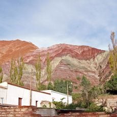
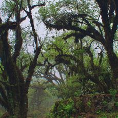
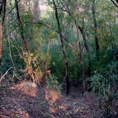
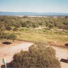
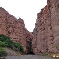
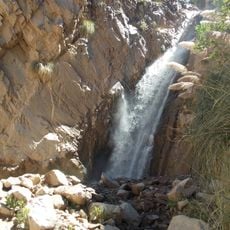
The Aguaragüe Integrated Management Natural Area is a protected area in southern Bolivia that follows the easternmost major Sub-Andean mountain range in the country. It consists of forested slopes, ravines, and more open sections, organized into zones for conservation and for regulated human use.
The Bolivian government created this protected area in 2000, responding to decades of logging and agricultural expansion that had put the mountain forests under pressure. The designation aimed to protect both the forest cover and the water sources that communities in the region depend on.
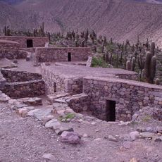
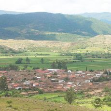
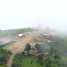
Several indigenous communities live in and around the area, and in designated zones they continue to harvest timber and other forest materials for everyday needs. This practice is recognized within the management framework and shapes how the land is used across different parts of the area.
The area is reached by road from Tarija, and joining a guided tour is the most common way to get around, since many trails are not well marked. The rainy season makes some tracks difficult to pass, so timing your visit to the dry months generally gives better access.
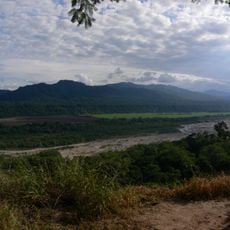
The forests of Aguaragüe act like a natural sponge, absorbing rainfall and then slowly releasing it into the rivers that supply drinking water to towns such as Villamontes and Yacuiba. This means that protecting the trees is also directly protecting the water supply of a large part of the region.
The community of curious travelers
AroundUs brings together thousands of curated places, local tips, and hidden gems, enriched daily by 60,000 contributors worldwide.