Tarija Department, Department with wine production in southeastern Bolivia.
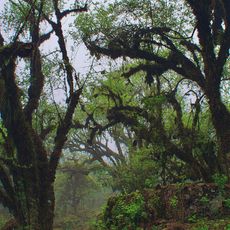
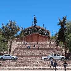
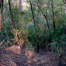
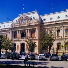
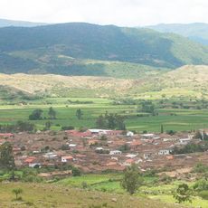
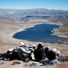
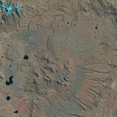
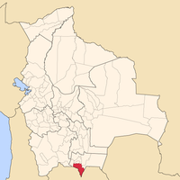
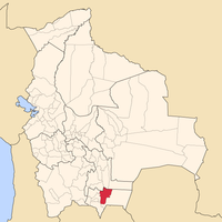
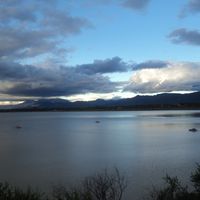
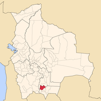
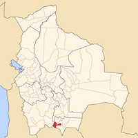
Tarija Department is an administrative territory in southeastern Bolivia that borders Argentina and Paraguay, encompassing mountains, valleys, and rolling terrain. It divides into six provinces, with Tarija city serving as capital and housing the main government buildings and services.
Spanish settlers founded this territory in 1574 as part of the Viceroyalty of Peru. After independence, it belonged to Argentina for more than 80 years before passing to Bolivia in 1898 through negotiations.
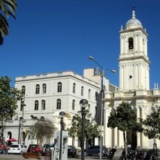
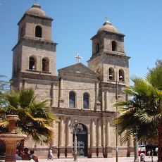
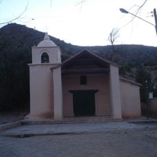
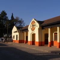
The name Tarija may derive from Spanish conquistador Francisco de Tarija, whose legacy appears in colonial-era architecture throughout the territory. Visitors notice the contrast between vineyards on the outskirts and traditional markets where locals sell cheese and dried fruit.
Flights arrive at Capitán Oriel Lea Plaza Airport, linking the capital with other Bolivian cities. Bus routes cross the provinces and connect smaller towns to regional centers, with travel times varying by terrain.
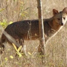
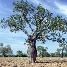
The valleys here hold some of South America's highest-elevation vineyards, planted on steep slopes and producing grapes with a particular character. Natural gas deposits lie beneath much of the territory and have shaped the local economy for decades.
Location: Bolivia
Inception: 1574
Capital city: Tarija
Elevation above the sea: 1,029 m
Part of: South America Midwest Integrated Zone
Shares border with: Potosí Department, Chuquisaca Department, Boquerón Department, Salta Province, Jujuy Province
Website: http://tarija.gob.bo
GPS coordinates: -21.53389,-64.73472
Latest update: December 4, 2025 19:05
Cerro Rico
237.9 km
Quebrada de Humahuaca
195.9 km
National Mint of Bolivia
241.2 km
Pucará de Tilcara
238.8 km
Tariquía Flora and Fauna National Reserve
64.8 km
Monument to the Heroes of Independence
196.4 km
Reserva de biosfera de Yungas
165.5 km
Cathedral Basilica of Our Lady of Peace, Potosí
241.2 km
Cordillera de Sama Biological Reserve
20 km
Estadio Víctor Agustín Ugarte
242.5 km
Casa Dorada, Tarija
173 m
San Lorenzo Church, Potosí
241.4 km
Aguaragüe Integrated Management Natural Area
117.6 km
Palacio de Gobierno de Jujuy
300.9 km
Catedral Basílica de San Salvador de Jujuy (Cathedral Basilica of the Holy Saviour)
300.8 km
Iñao National Park and Integrated Management Natural Area
249.7 km
Tarija Cathedral
134 m
Horacio Guzmán International Bridge
108.9 km
Antonio José de Sucre Bridge
246.9 km
Plaza 10 de Noviembre
241.1 km
Torre de la Compañía
241.2 km
Potosí mountain range
226.3 km
Cabildo de Humahuaca
196.4 km
Cerro Panizos
234.1 km
Cañón del Pilaya
49.9 km
Fuerte de Cobos
358.4 km
Parque Nacional Teniente Enciso
376.8 km
Pari Urqu
245.7 kmVisited this place? Tap the stars to rate it and share your experience / photos with the community! Try now! You can cancel it anytime.
Discover hidden gems everywhere you go!
From secret cafés to breathtaking viewpoints, skip the crowded tourist spots and find places that match your style. Our app makes it easy with voice search, smart filtering, route optimization, and insider tips from travelers worldwide. Download now for the complete mobile experience.
A unique approach to discovering new places❞
— Le Figaro
All the places worth exploring❞
— France Info
A tailor-made excursion in just a few clicks❞
— 20 Minutes