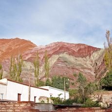
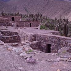
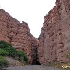
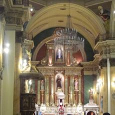
Parque provincial Laguna Pintascayo, Provincial park in Salta Province, Argentina.
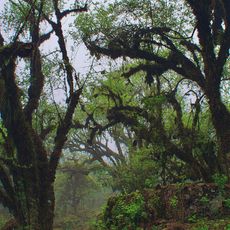
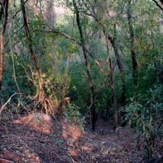
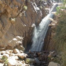
Parque Provincial Laguna Pintascayo is a protected area in Salta Province featuring subtropical forests, wetlands, and the Pescado River running along its western edge. Dense riverside woodlands of native willow and cherry trees line the waterways throughout the park.
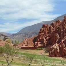
Laguna Pintascayo was created by artificial diversion of the Iruya River in the 1800s, which generated erosion patterns that carved out the canyon seen today. This river engineering altered the landscape permanently and continues to shape water conditions in the park.
The name Pintascayo comes from the Quechua language and refers to reed beds or fishing tools used by indigenous communities. This meaning shows how closely local people have always been connected to the waters that define this region.
The park is accessible year-round, with temperatures varying between cool winters and warm summers. Visitors should prepare for wet conditions and frequent rainfall that keep the ground soft and vegetation abundant.
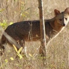
The protected area is home to jaguars, tapirs, caimans, and capybaras living in the dense forests. These large animals are rarely spotted, but their presence shows the park remains a vital refuge for endangered species.
Location: Salta Province
GPS coordinates: -22.86639,-64.48111
Latest update: December 14, 2025 09:45
Quebrada de Humahuaca
96.3 km
Pucará de Tilcara
123.9 km
Tariquía Flora and Fauna National Reserve
99.1 km
Monument to the Heroes of Independence
96.7 km
Reserva de biosfera de Yungas
55.2 km
Cordillera de Sama Biological Reserve
146.7 km
Casa Dorada, Tarija
150.8 km
Aguaragüe Integrated Management Natural Area
177.2 km
Palacio de Gobierno de Jujuy
169.1 km
Catedral Basílica de San Salvador de Jujuy
169 km
Tarija Cathedral
150.7 km
Horacio Guzmán International Bridge
143.2 km
Cabildo de Humahuaca
96.5 kmCañón del Pilaya
200.5 km
Fuerte de Cobos
217.3 km
Capilla de la Inmaculada Concepción
109.2 km
Bolivian National Observatory at Tarija
142.2 km
Camataqui Municipality
223.7 km
Magical
209.1 km
Paseo de los Colorados
143.4 km
Cerro Galán
199.9 km
Humahuaca Cathedral
96.5 km
Biblioteca Popular José Ingenieros
97.9 km
Capilla de Tilcara
122.2 km
Cabildo de la ciudad de San Salvador de Jujuy
168.9 km
Capilla de Purmamarca
143 km
Iglesia y Convento San Francisco
169.1 km
Garganta Del Diablo
122.1 kmVisited this place? Tap the stars to rate it and share your experience / photos with the community! Try now! You can cancel it anytime.
Discover hidden gems everywhere you go!
From secret cafés to breathtaking viewpoints, skip the crowded tourist spots and find places that match your style. Our app makes it easy with voice search, smart filtering, route optimization, and insider tips from travelers worldwide. Download now for the complete mobile experience.
A unique approach to discovering new places❞
— Le Figaro
All the places worth exploring❞
— France Info
A tailor-made excursion in just a few clicks❞
— 20 Minutes