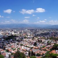
Salta Province, Northwestern province in Argentina
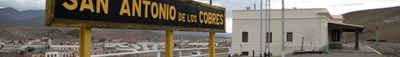
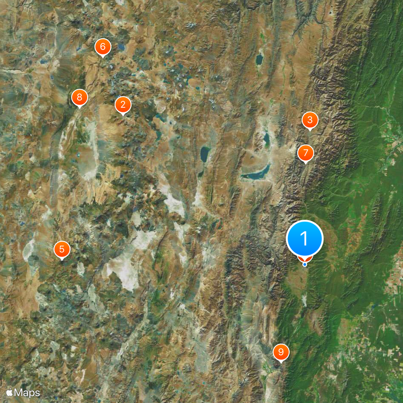
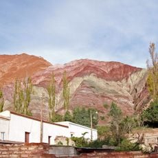
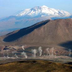
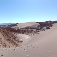
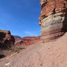
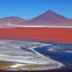
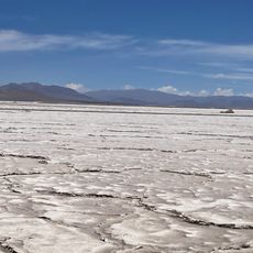
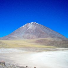
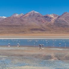
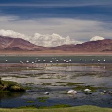
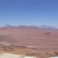
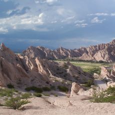
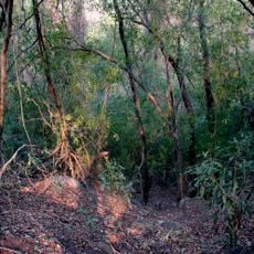
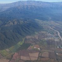
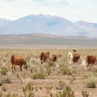
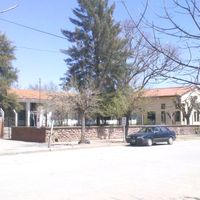
This region is a province in northwest Argentina that stretches from dense forests in the east to barren high mountain zones in the west. The landscape shifts between deep gorges, fertile valleys with grapevines, and barren plateaus where llamas graze.
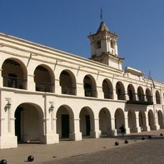
Spanish expeditions reached the area in the first half of the 16th century and founded settlements that later formed the core of the territory. The region became an important trading post between the Viceroyalty of the Río de la Plata and the Andes.
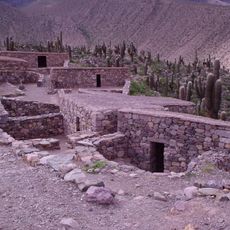
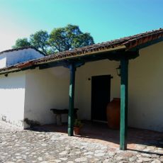
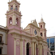
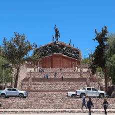
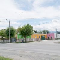
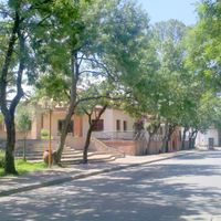
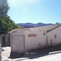
Pre-Hispanic roots show in architecture with low adobe structures, colorful weavings sold at local markets, and folk music featuring drums and flutes. Religious celebrations blend Catholic traditions with older customs, with processions often winding through narrow streets and participants wearing traditional clothing.
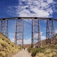
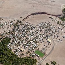
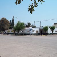
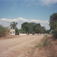
Most towns sit along or near National Route 9, which runs north to south and connects the main population centers. Many sections in the west are best reached with high-clearance vehicles, especially during the rainy season from December to March.
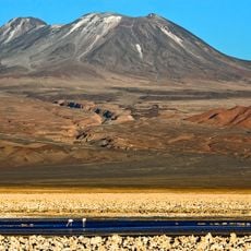
Vineyards in the Calchaquí valleys reach elevations above 1700 meters (5577 feet), exposing the vines to strong sunlight and cool nights. These conditions favor the cultivation of Torrontés, a white grape variety that becomes especially aromatic here.
Location: Argentina
Inception: 1814
Capital city: Salta
Elevation above the sea: 1,246 m
Reference: SA
Part of: South America Midwest Integrated Zone
Shares border with: Jujuy Province, Formosa Province, Chaco Province, Santiago del Estero Province, Tucumán Province, Catamarca Province, Antofagasta Region, Tarija Department, Boquerón Department
Website: https://salta.gob.ar
GPS coordinates: -24.78333,-65.41667
Latest update: December 14, 2025 20:51
Atacama Large Millimeter Array
308.4 km
Quebrada de Humahuaca
176.4 km
Tren a las Nubes
889 m
Llullaillaco
315.5 km
El Tatio
380.2 km
Pucará de Tilcara
133 km
Valle de la Luna
359.4 km
Quebrada de las Conchas
129.7 km
Yatasto relay
101.4 km
Laguna Colorada
375.6 km
Cabra Corral Reservoir
53.7 km
Salar del Hombre Muerto
178.2 km
Licancabur
331.9 km
Museum of High Altitude Archaeology
861 m
Salta Cathedral
848 m
Eduardo Abaroa Andean Fauna National Reserve
338.4 km
Polvorilla viaduct
120 km
Cabildo de la ciudad de Salta
944 m
Los Flamencos National Reserve
276.1 km
Lascar
283.7 km
Galán
201.6 km
Monument to the Heroes of Independence
175.9 km
Árbol de Piedra
394.9 km
Llano de Chajnantor Observatory
308.3 km
Toconao
317.6 km
Quebrada de las Flechas
125.8 km
Atacama Cosmology Telescope
315.4 km
Reserva de biosfera de Yungas
203 kmVisited this place? Tap the stars to rate it and share your experience / photos with the community! Try now! You can cancel it anytime.
Anta Department
Cachi Department
Cafayate Department
Capital Department
Cerrillos Department
Chicoana Department
General Güemes Department
General José de San Martín
Guachipas Department
Iruya Department
La Poma Department
La Caldera Department
La Candelaria
La Viña Department
Los Andes Department
Metán Department
Departamento Molinos
Departamento de Orán
Rivadavia Department
Departamento de Rosario de la Frontera
Rosario de Lerma Department
San Carlos Department
Santa Victoria Department
Discover hidden gems everywhere you go!
From secret cafés to breathtaking viewpoints, skip the crowded tourist spots and find places that match your style. Our app makes it easy with voice search, smart filtering, route optimization, and insider tips from travelers worldwide. Download now for the complete mobile experience.
A unique approach to discovering new places❞
— Le Figaro
All the places worth exploring❞
— France Info
A tailor-made excursion in just a few clicks❞
— 20 Minutes