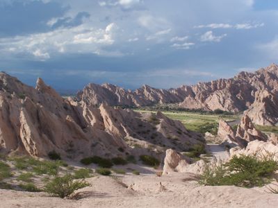
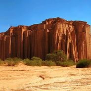
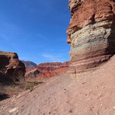
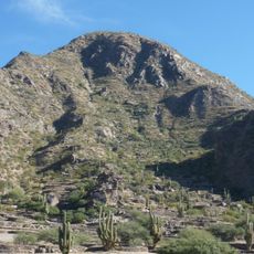
Quebrada de las Flechas
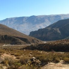
Quebrada de las Flechas is a canyon along Route 40 in Salta where tall sedimentary rock walls rise up in various shapes, forming a nearly 20-kilometer stretch through the Calchaquí Valley. The road winds through this natural gorge with rock faces closely flanking both sides, creating a dramatic passage.
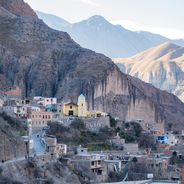
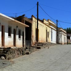
An Inca fortress was built near Angastaco around the 15th century on the right bank of the Calchaquí River to control the region strategically. Later, during Spanish colonial times, the area became a contested zone between invaders and indigenous peoples.
This place held significance for the Calchaquí people who navigated and inhabited these valleys for centuries before colonial times. Visitors walking through can sense the long connection between the indigenous communities and this dramatic landscape.
The best time to visit is autumn, spring, or winter when weather is mild and driving conditions are easier. On unpaved road sections, drive slowly and carefully since conditions vary depending on the season.
The rock walls display a spectrum from pale grayish-beige to reddish ochre tones that shift dramatically throughout the day as sunlight changes angle. These color shifts make each time of day feel like a different experience when passing through the canyon.
The community of curious travelers
AroundUs brings together thousands of curated places, local tips, and hidden gems, enriched daily by 60,000 contributors worldwide.