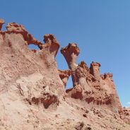
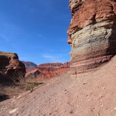
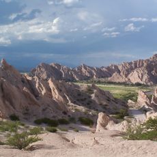
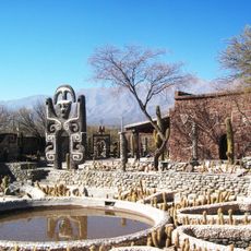
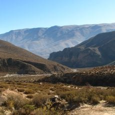
Ruins of Quilmes, Archaeological site in Calchaquí Valleys, Argentina.
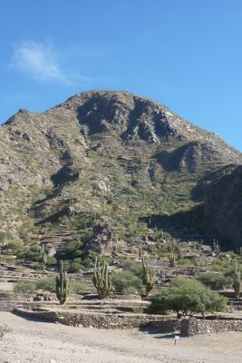
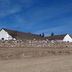
The Ruins of Quilmes are an archaeological site in the Calchaquí Valleys of Argentina, spreading across terraced residential areas and farming zones on the eastern slope of Alto Rey Mountain at 1,850 meters (6,070 feet). Stone walls connect the different levels and mark boundaries between living quarters and defensive zones.
The Quilmes people settled this location from 800 CE onward and resisted Spanish attacks for decades. In 1665, Spanish forces under Francisco Mercado y Villacorta ended the community's independence.
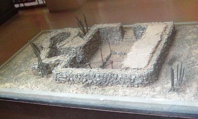
The site preserves traditional pre-Columbian building methods using local stone arranged in terraces that follow the mountain contours. Visitors walk through residential areas where families once organized their daily routines around steep slopes and limited flat ground.
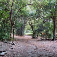
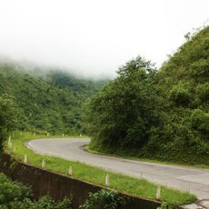
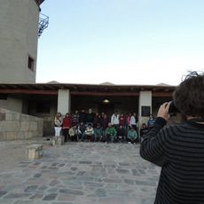
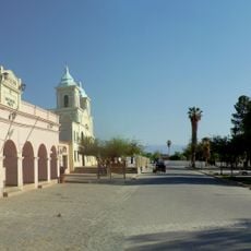
The complex lies 20 kilometers (12 miles) from Amaicha del Valle and opens daily with guided tours available. Visitors should arrive early in the morning or late afternoon to avoid the intense midday sun.
The residential structures were set into deep pits below ground level to shield occupants from extreme temperature swings. The walls rose upward and supported lightweight roofs made from organic materials.
The community of curious travelers
AroundUs brings together thousands of curated places, local tips, and hidden gems, enriched daily by 60,000 contributors worldwide.