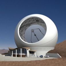
Atacama Large Millimeter Array, Radio interferometer in Atacama Desert, Chile
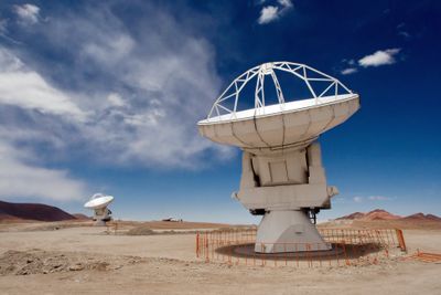
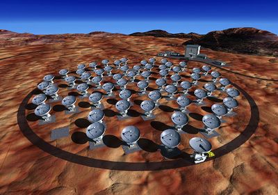
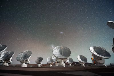
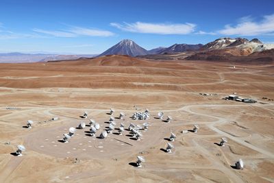
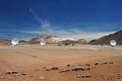
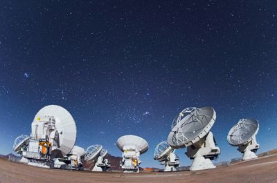
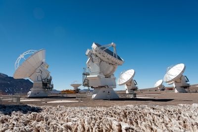
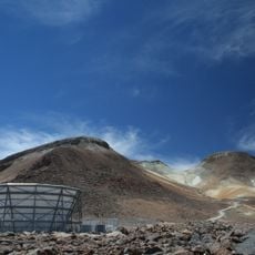
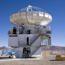
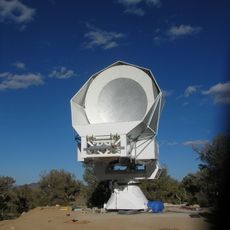
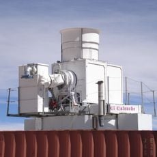
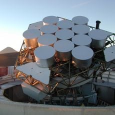
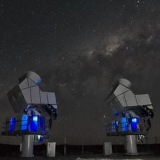
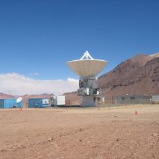
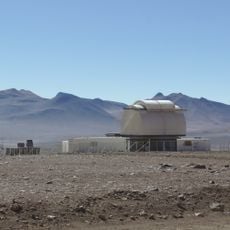
The facility comprises 66 radio telescopes positioned on the Chajnantor Plateau at 16,400 feet (5,000 meters) elevation, operating collectively as one instrument. The antennas capture electromagnetic radiation in millimeter and submillimeter wavelengths, and their arrangement enables high-resolution observations of cosmic objects. Each telescope features a parabolic antenna dish for precise detection of astronomical signals from space.
Planning began during the 1990s with separate European and North American projects that merged into a joint venture in 2004. After years of construction at extreme elevation, scientific observations commenced in 2011. The official inauguration ceremony took place in March 2013, when all systems achieved full operational capacity and the observatory demonstrated complete functionality for groundbreaking research in radio astronomy.
The 1.4 billion dollar observatory emerged through cooperation between Europe, the United States, Canada, Japan, South Korea, Taiwan, and Chile. Scientists from participating nations use the facility to investigate fundamental questions about star, galaxy, and planet formation while contributing to advances in international radio astronomy research and understanding of the universe.
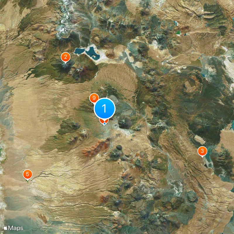
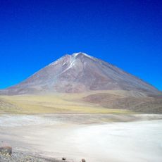
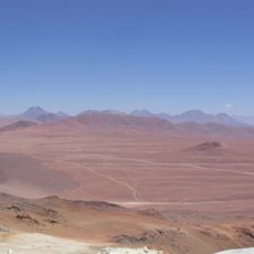
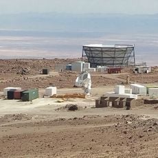
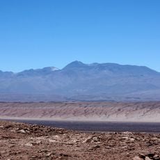
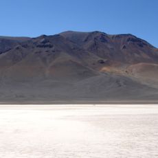
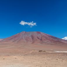
The site sits approximately 31 miles (50 kilometers) east of San Pedro de Atacama via unpaved roads. Due to extreme elevation and health risks, public access is severely restricted; tours require advance booking and occur only on weekends at a lower elevation facility. The dry desert environment and cloudless skies enable research operations year-round under optimal atmospheric conditions with minimal water vapor interference.
The telescopes can be distributed and repositioned across 10 miles (16 kilometers), making the installation function like a zoom lens. This flexibility allows astronomers to switch between wide-angle views of large sky regions and extremely detailed close-ups of individual objects by simply adjusting the distance between antennas. Specialized transporter vehicles move the antennas to their respective positions for different observation campaigns.
The community of curious travelers
AroundUs brings together thousands of curated places, local tips, and hidden gems, enriched daily by 60,000 contributors worldwide.