Enable Location

We need your location to show you interesting places around you

Discover nearby places

Find interesting locations and hidden gems around you

Precise directions

Get accurate directions and distances to places

Your location is never shared with other users. It's only used when you tap the location button.

Sairecabur

Log in to your account

Start exploring — it's free

Trusted by 61,354 travelers worldwide

Continue with Google
Continue with Apple
or

We will send you a code to connect

By continuing, you accept our Terms and Conditions and our Privacy Policy

Check your inbox

We've sent a pincode in your inbox. Please enter the code below.

Sairecabur

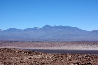
Sairecabur, Andean volcano in Atacama Desert, Chile

Description

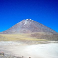
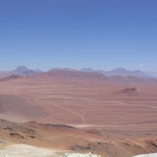
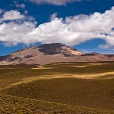
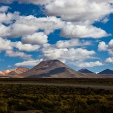
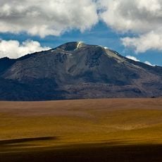
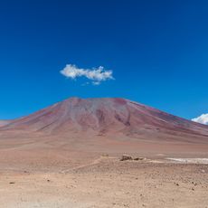
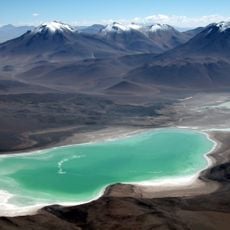
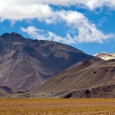
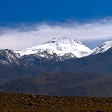
Sairecabur is a volcano on the border between Chile and Bolivia, rising to around 5,970 meters above sea level in the heart of the Atacama Desert. The mountain stands out with its prominent summit and a wide caldera marking the volcanic history of the region.

History

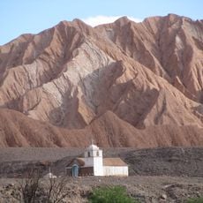
Archaeological discoveries show that Inca people used this mountain as a sacred place and built a shrine on its slopes. The long history of settlement in this high mountain region reveals how important this peak was to Andean cultures across many centuries.

Culture

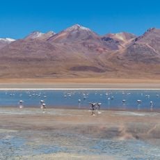
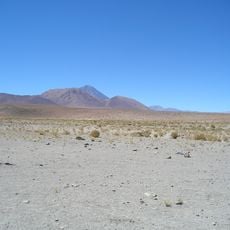
The name comes from the Kunza language and means rain mountain, showing how indigenous peoples saw this peak as tied to water and survival in the desert. This connection remains visible in how local communities in San Pedro de Atacama relate to the landscape today.

Practical

Climbing this peak requires two to three nights of acclimatization in San Pedro de Atacama before you set out with an experienced mountain guide. The route is demanding and takes about eleven hours from start to finish, so good physical preparation is important.

Did you know?

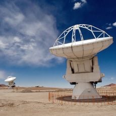
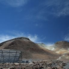
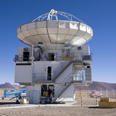
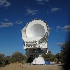
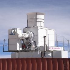
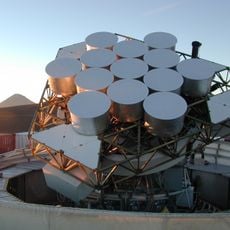
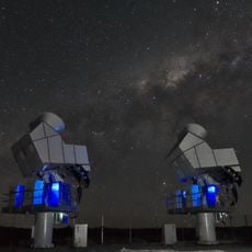
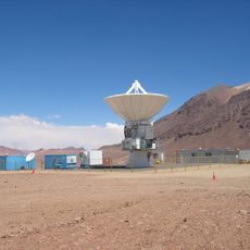
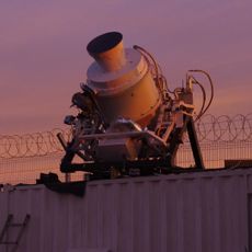
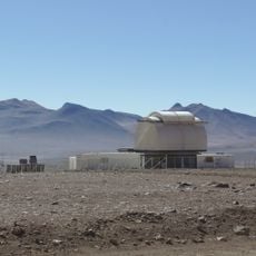
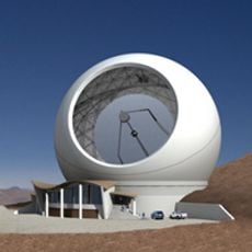
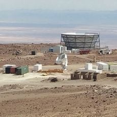
A major radio telescope sits high on the mountain and is one of the highest telescope installations in the world for astronomical observation. This scientific instrument operates in one of the driest and clearest spots on Earth.

GPS coordinates
-22.71902,-67.89031
Latest update
December 11, 2025 11:06

AroundUs brings together thousands of curated places, local tips, and hidden gems, enriched daily by 60,000 contributors worldwide. Discover all places nearby (Chile).

« Sairecabur - Andean volcano in Atacama Desert, Chile » is provided by Around Us (aroundus.com). Images and texts are derived from Wikimedia project under a Creative Commons license. You are allowed to copy, distribute, and modify copies of this page, under the conditions set by the license, as long as this note is clearly visible.

Discover hidden gems everywhere you go!

From secret cafés to breathtaking viewpoints, skip the crowded tourist spots and find places that match your style. Our app makes it easy with voice search, smart filtering, route optimization, and insider tips from travelers worldwide. Download now for the complete mobile experience.

Around Us App Screenshot

A unique approach to discovering new places

Le Figaro

All the places worth exploring

France Info

A tailor-made excursion in just a few clicks

20 Minutes

Around Us
Travel Guide & Maps
Download

Send to your phone

QR Code
1

Open the camera app on your mobile.

2

Point at the QR code with your camera. A notification will appear.

3

Tap the notification to open the link.