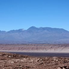
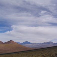
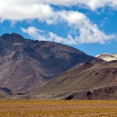
Tocorpuri, Stratovolcano in Antofagasta Region, Chile
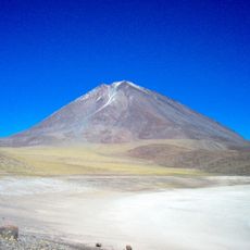
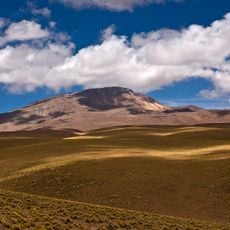
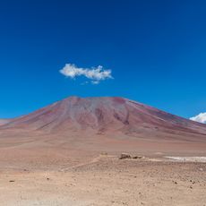
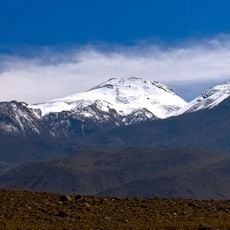
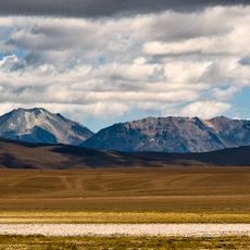
Tocorpuri is a stratovolcano in the Antofagasta Region consisting of two distinct volcanic structures with a crater at its summit. Multiple lava flows spread across the slopes, creating a layered appearance that shows the volcanic's complex formation history.
The volcano formed through multiple phases during the late Pleistocene, with its last eruption occurring around 34,000 years ago. This extended period of inactivity means the volcano has been dormant for a very long time.
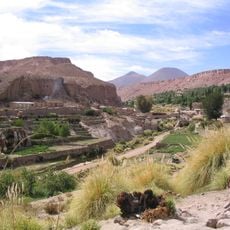
The name comes from the ancient Kunza language, showing how indigenous peoples understood and named the volcanic landscape around them. This linguistic connection reflects the long presence of communities in this remote area.
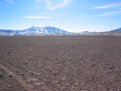
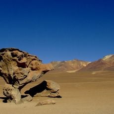
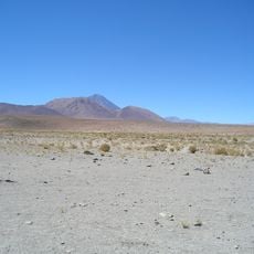
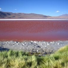
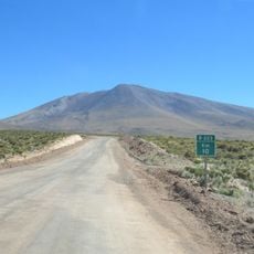
The volcano sits about 100 kilometers east of Calama, accessible by driving through remote desert roads in the Antofagasta Region. Visitors should prepare for harsh conditions and consult local guides, as it sits in a high mountain area with extreme terrain.
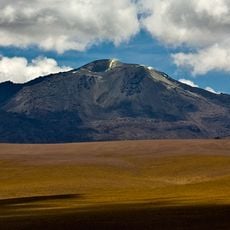
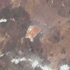
The western side contains La Torta, a lava dome that formed during the final volcanic activity phase. This structure shows how the lava became thick in the later eruptions, building up rather than spreading across the landscape.
The community of curious travelers
AroundUs brings together thousands of curated places, local tips, and hidden gems, enriched daily by 60,000 contributors worldwide.