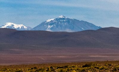
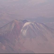
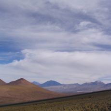
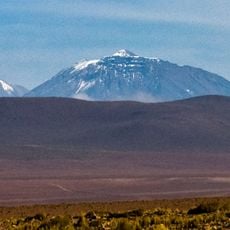
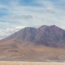
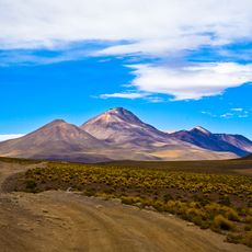
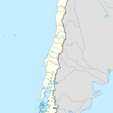
Cerro Paniri, Stratovolcano in Antofagasta Region, Chile.
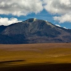
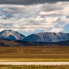
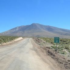
Volcán Paniri is a stratovolcano in the Antofagasta Region that rises to 5,960 meters with three separate craters visible from different angles. Ancient lava flows remain clearly visible on its southern and southwestern slopes.
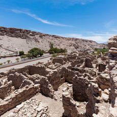
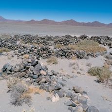
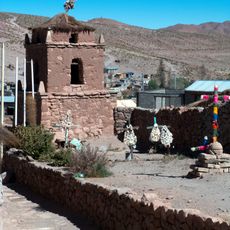
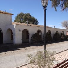
The mountain holds evidence of human presence from pre-Columbian times, as shown by archaeological findings. Ceremonial structures on its summit date to the period of Inka influence in the region.
The mountain holds sacred meaning for residents of Ayquina village, reflecting how local communities view their landscape. This spiritual connection shapes how people interact with and understand the place today.
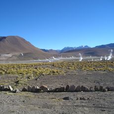
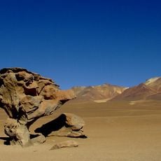
Access to the site follows dirt roads running along the northern and western slopes, with the nearby towns of Cupo and Turi serving as starting points. Visitors should expect challenging terrain and significant altitude.
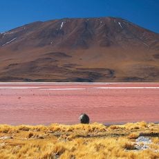
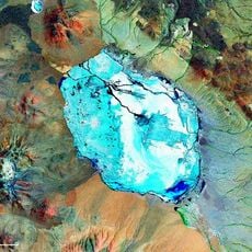
The crater lake once contained fairy shrimp, tiny creatures rarely found at high elevations. This discovery of microscopic life forms at such altitude was unusual and noteworthy.
The community of curious travelers
AroundUs brings together thousands of curated places, local tips, and hidden gems, enriched daily by 60,000 contributors worldwide.