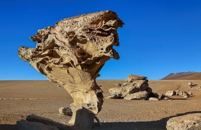
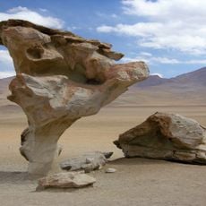
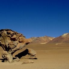
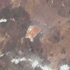
Siloli, Rock formations in Eduardo Avaroa National Reserve, Bolivia
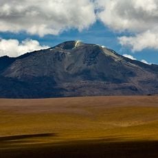
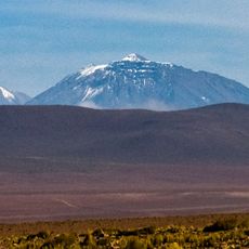
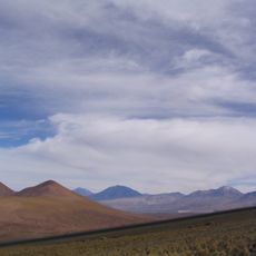
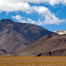
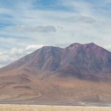
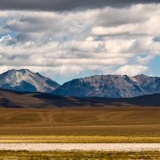
Siloli is a desert area with sandstone rock formations sitting at about 4500 meters (14,760 feet) elevation. The site features several striking stone shapes scattered across the barren terrain, including one notable structure about 7 meters (23 feet) tall that stands out from its surroundings.
Wind and sand have slowly carved away at the sandstone here for millions of years, creating the shapes we see today. This natural process continues to reshape these formations, though the rocks remain in surprisingly steady positions despite the constant exposure to weather.
Local guides point out the rock formations and name them after things they resemble, like a trophy or familiar objects. These nicknames help visitors remember what they see and connect with how people experience this desert.
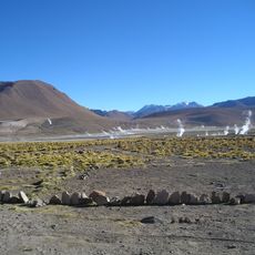
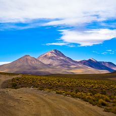
Allow yourself time to adjust to the altitude of 4500 meters (14,760 feet) before hiking around, as the thin air takes getting used to. Guided tours set out regularly from the nearby Uyuni salt flats and help you find the best viewpoints and lighting for photography.
Despite constant wind erosion, these rocks maintain their precarious balances in ways that geologists still find remarkable. The specific combination of rock density and erosion patterns here creates formations rarely seen elsewhere in the world.
The community of curious travelers
AroundUs brings together thousands of curated places, local tips, and hidden gems, enriched daily by 60,000 contributors worldwide.