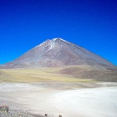
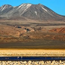
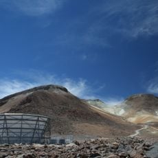
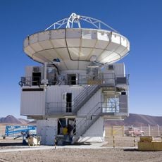
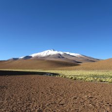
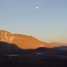
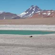
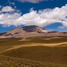
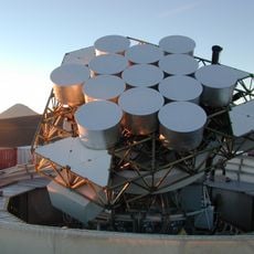
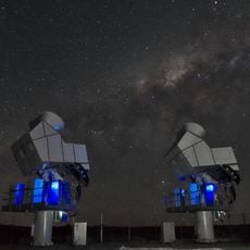
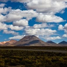
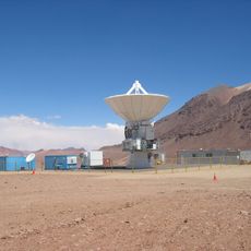
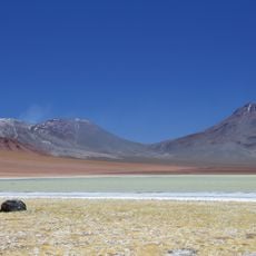
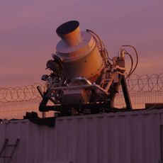
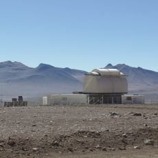
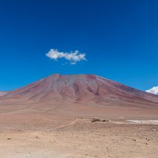
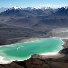
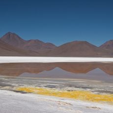
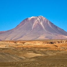
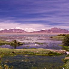
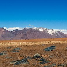
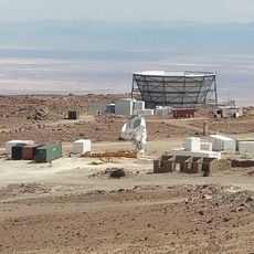
Salar Aguas Calientes I, Salt pan in Antofagasta Region, Chile.
Salar Aguas Calientes I is a salt pan located in the Andean highlands of the Antofagasta Region at an elevation of about 4,200 meters. The basin covers several square kilometers and is fed by mineral-rich springs that keep the water warm throughout the year.
The salt pan lies in an endorheic basin of 263 km² with 56 tributaries, fed mainly by the Quebrada Peña Negra from the slopes of Cerro Incahuasi and by the warm-water Río Aguas Calientes. Its three seasonal lakes cover 3 to 6.7 km² and hold 1.9 to 3.2 million cubic metres of water. Hans Niemeyer noted that the name Aguas Calientes is common across the Chilean altiplano, so he distinguished the salt pans by their southern latitude.
The salt pan lies beside the road to the Jama Pass, about 105 km east of San Pedro de Atacama, and its name is shared by several salt pans in the Chilean altiplano. Because of this, Hans Niemeyer distinguishes them by the southern latitude of each site. The northern Río Aguas Calientes carries warm water that keeps a lagoon from freezing.
The salt pan lies about 105 km east of San Pedro de Atacama, on the road to the Jama Pass, at 4,280 m. The basin holds 56 inflows, and the northern Río Aguas Calientes carries warm water. Mean temperature is about 1 °C with 150 mm of rain a year, so bring warm layers and water.
The Río Aguas Calientes flows about 6 km from the Cerro Aguas Calientes, first north then west, and its warm water keeps the northern lagoon from freezing. The basin's inflow is saline, so the fresher water survives mainly in the north of the catchment.
The community of curious travelers
AroundUs brings together thousands of curated places, local tips, and hidden gems, enriched daily by 92,654 contributors worldwide.