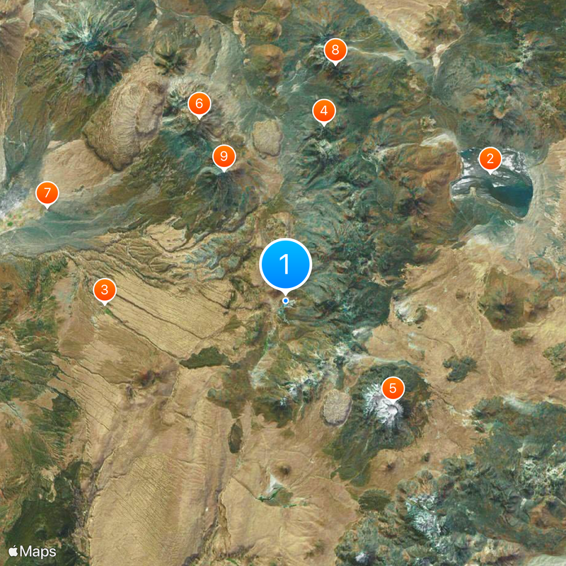
El Tatio, Geothermal field in Antofagasta Province, Chile
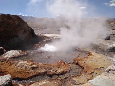
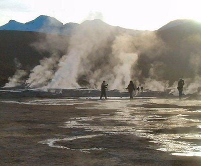
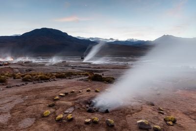
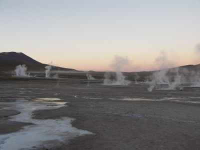
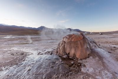
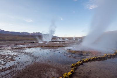
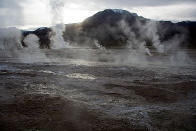
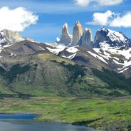
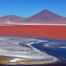
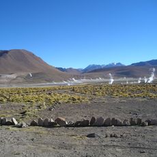
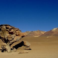
El Tatio is a geothermal field in Antofagasta Province where more than 80 active geysers release steam and hot water across an extensive high-altitude landscape. The site sits at approximately 4,320 meters elevation and displays colorful mineral deposits, hot pools, and steam vents spread across the terrain.
Scientific interest in this geothermal field emerged in the 1920s when researchers first began documenting its active features. Later studies in the mid-20th century focused on understanding its geothermal energy potential and volcanic characteristics.
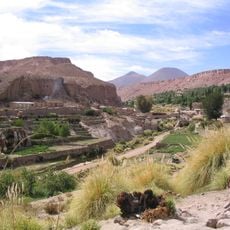
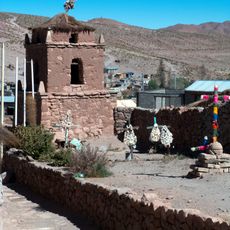
Local communities have long regarded this geothermal site as part of their ancestral lands, and they continue to be present and involved in how visitors experience the place. Their knowledge and presence shape the way the landscape is understood and respected today.
Visits typically take place before sunrise when temperatures drop well below freezing, so bring warm layers and expect the high altitude to affect how your body feels. Plan to move slowly and stay hydrated throughout your time there.
The geysers shoot water fountains that rise several tens of centimeters into the air, and as they fall they deposit minerals that gradually build distinctive cone-shaped structures around each vent. Over many years these deposits create an otherworldly landscape of mineral formations that tell the story of the ongoing geothermal activity.
The community of curious travelers
AroundUs brings together thousands of curated places, local tips, and hidden gems, enriched daily by 60,000 contributors worldwide.