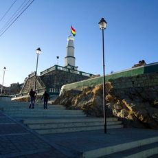
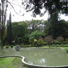
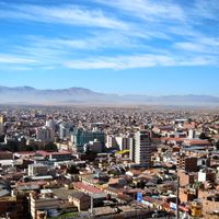
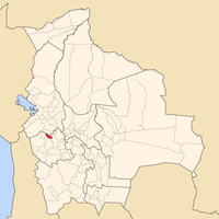
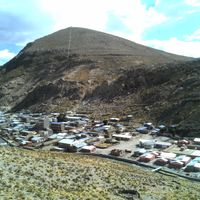
Oruro Department, Administrative region in western Bolivia, South America.
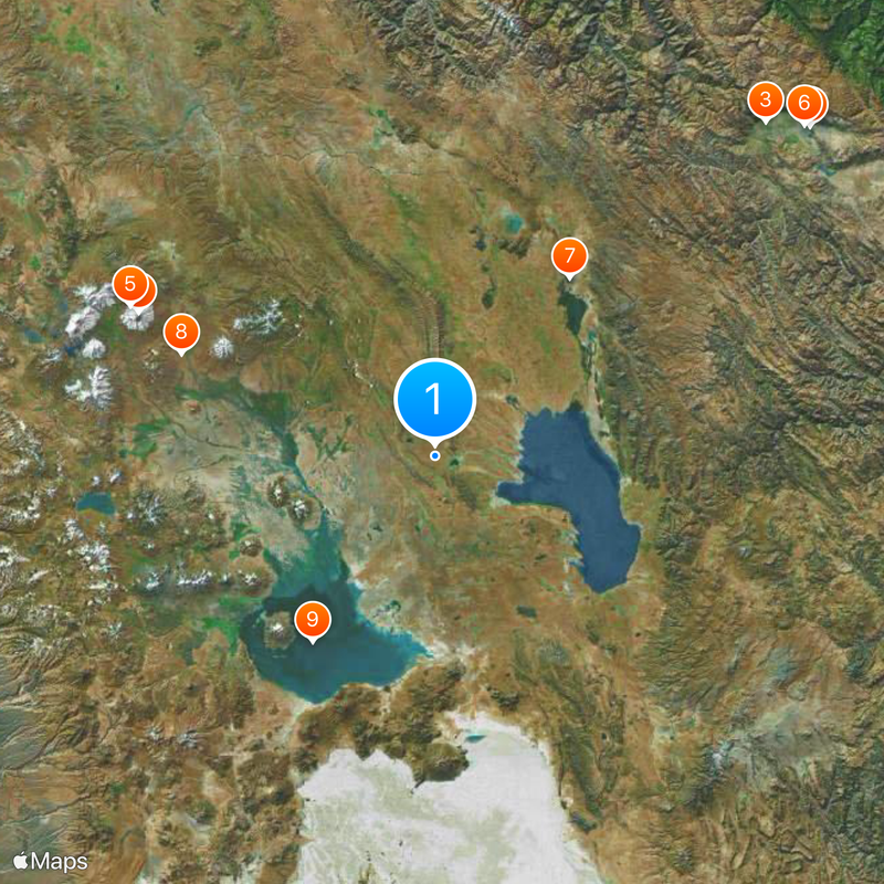
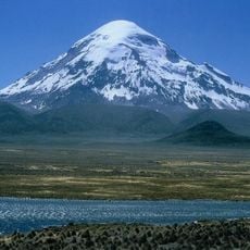
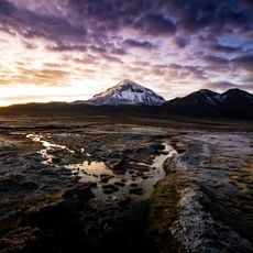
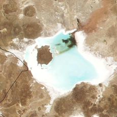
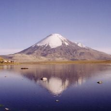
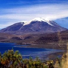
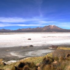
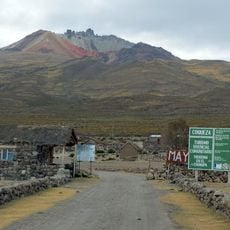
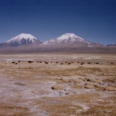
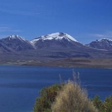
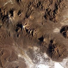
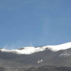
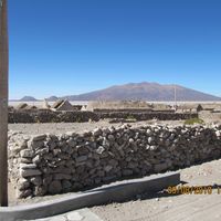
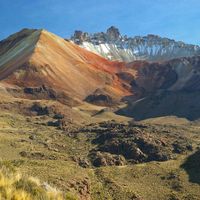
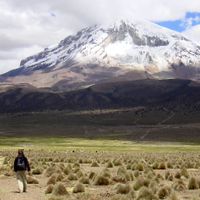
Oruro Department spans across 53,588 square kilometers of the Bolivian Altiplano, hosting salt flats, volcanoes, and the Sajama National Park with its highest peak.
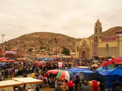
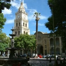
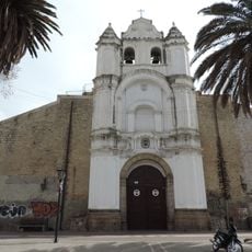
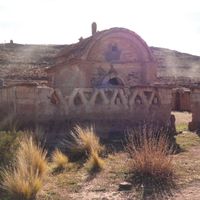
This administrative region developed into an economic center of Bolivia during the 19th century through silver and tin extraction. Mining connected the high plains to international trade routes and transformed the local society.
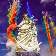
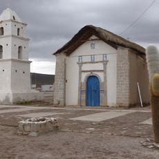
The department celebrates the UNESCO-recognized Carnival in February, featuring traditional dances, music performances, and indigenous Andean costumes representing local folklore.
The region sits above 12,150 feet (3,700 meters) elevation, so travelers should plan time to adjust to the altitude and drink plenty of water. Buses run regularly between larger towns, though travel times can vary depending on road conditions.
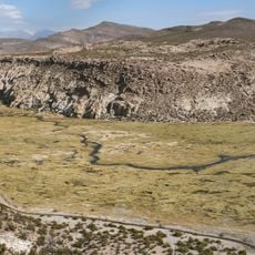
Queñoa trees grow in Sajama National Park and are considered among the highest-elevation tree species in the world, surviving in this barren landscape. Hot springs emerge at the base of Nevado Sajama, used by hikers after climbing expeditions.
The community of curious travelers
AroundUs brings together thousands of curated places, local tips, and hidden gems, enriched daily by 60,000 contributors worldwide.