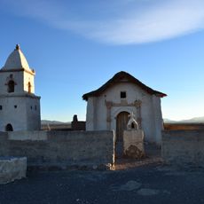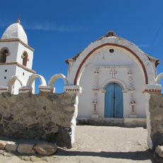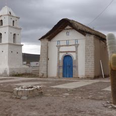
Salar de Coipasa, Salt flat and lake in Oruro, Bolivia.
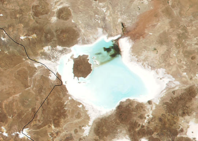
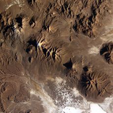
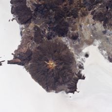
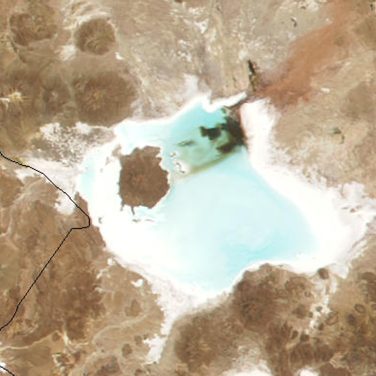
Salar de Coipasa is a salt flat at 3,657 m in the Andean altiplano that entirely surrounds Lake Coipasa, a pale turquoise body of water with two dark patches near its upper middle. The salt crust, up to 100 m thick in layers of one to two metres, forms a white rim widest along the bottom and right edges. A brown, rounded landmass juts in from the left, and the surrounding pale brown land holds scattered darker circular depressions.
This salt flat has been exploited since ancient times by Andean peoples for salt extraction, which drove regional trade networks. The historical use of salt resources was central to the economic development of surrounding communities.
The salt flat takes its name from Lake Coipasa, which it entirely encircles. Luis Risopatrón's 1924 Diccionario Jeográfico de Chile records a common salt deposit 20 cm thick on the eastern side, at the foot of the Sierra de Guailla, at 3,720 m. The border with Bolivia crosses the flat between Quellaga and Cerro Lacataya.
The salt flat lies 225 km west of Oruro on the route to Sabaya, at 3,657 m, and is reached by a thin track entering from the lower left of the pan. Bring water and supplies for the altitude, and travel with someone who knows the terrain. The salt rim is widest along the bottom and right edges, where the crust is easiest to follow.
The Salar de Coipasa links to the Salar de Uyuni through the Quebrada Negrojahuira, a ravine about 20 km long. Its salt crust reaches a maximum thickness of 100 m, built up in overlapping layers one to two metres thick.
The community of curious travelers
AroundUs brings together thousands of curated places, local tips, and hidden gems, enriched daily by 94,563 contributors worldwide.