Enable Location

We need your location to show you interesting places around you

Discover nearby places

Find interesting locations and hidden gems around you

Precise directions

Get accurate directions and distances to places

Your location is never shared with other users. It's only used when you tap the location button.

Wila Pukarani

Log in to your account

Start exploring — it's free

Trusted by 62,371 travelers worldwide

Continue with Google
Continue with Apple
or

We will send you a code to connect

By continuing, you accept our Terms and Conditions and our Privacy Policy

Check your inbox

We've sent a pincode in your inbox. Please enter the code below.

Wila Pukarani

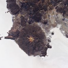
Wila Pukarani, mountain

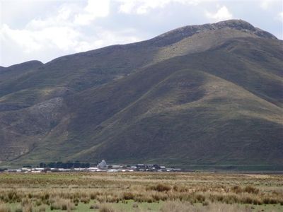
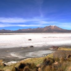
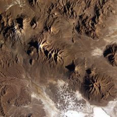
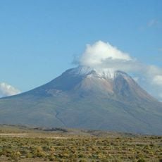
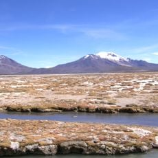
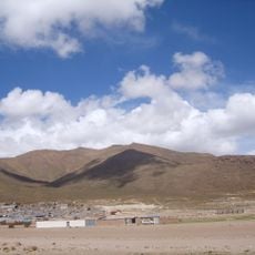
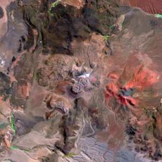
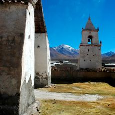
Wila Pukarani is a volcano on Bolivia's high plains with a cone-shaped form that rises above the surrounding terrain with gently sloping sides. The area around it is dry, with salt flats that give the landscape a flat and open appearance, while the slopes are composed of gravel, rocky outcrops, and salt-covered ground.

The volcano formed approximately 3.7 million years ago and represents a record of Bolivia's volcanic past written in stone. Over millions of years, wind and water have reshaped its surface, while traces of glaciers from the last ice age remain visible on its slopes.

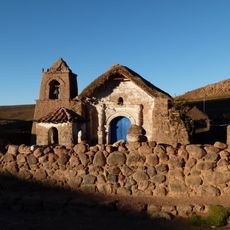
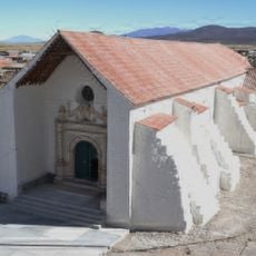
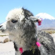
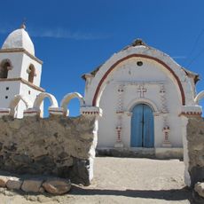
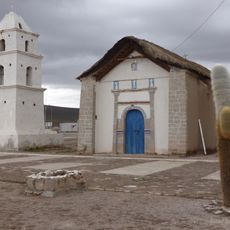
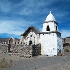
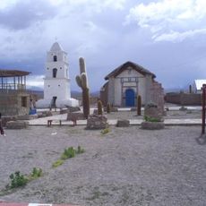
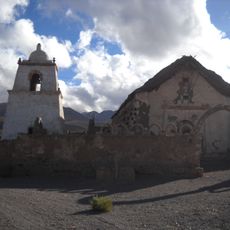
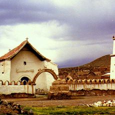
Wila Pukarani takes its name from the Aymara language, with 'Wila' meaning red and 'Pukara' referring to a fortress or protective place. For local communities, the volcano holds cultural meaning as a sacred site where traditional ceremonies take place and offerings are made to honor the mountain. This connection reflects how deeply the peak is woven into local beliefs and traditions.

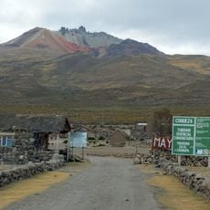
The volcano is located in a remote area, so visitors should bring plenty of water, sun protection, and warm clothing. The best time to visit is during the dry season when skies are clear, and since the air at high altitude is thin, visitors should take their time and stay hydrated.

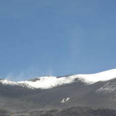
The volcano gets its name from its distinctive reddish hue, which is visible from afar and made it a natural landmark for travelers crossing the region. This coloring sets it apart from other volcanoes in the area and makes it stand out against the otherwise monotonous salt flats.

The community of curious travelers

AroundUs brings together thousands of curated places, local tips, and hidden gems, enriched daily by 60,000 contributors worldwide.

Start exploring
GPS coordinates
-19.32479,-68.31420
Latest update
February 9, 2026 07:40
« Wila Pukarani - mountain » is provided by Around Us (aroundus.com). Images and texts are derived from Wikimedia project under a Creative Commons license. You are allowed to copy, distribute, and modify copies of this page, under the conditions set by the license, as long as this note is clearly visible.

Discover hidden gems everywhere you go!

From secret cafés to breathtaking viewpoints, skip the crowded tourist spots and find places that match your style. Our app makes it easy with voice search, smart filtering, route optimization, and insider tips from travelers worldwide. Download now for the complete mobile experience.

Around Us App Screenshot

A unique approach to discovering new places

Le Figaro

All the places worth exploring

France Info

A tailor-made excursion in just a few clicks

20 Minutes

Around Us
Travel Guide & Maps
Download

Send to your phone

QR Code
1

Open the camera app on your mobile.

2

Point at the QR code with your camera. A notification will appear.

3

Tap the notification to open the link.