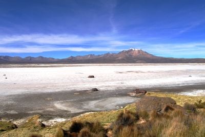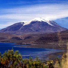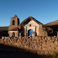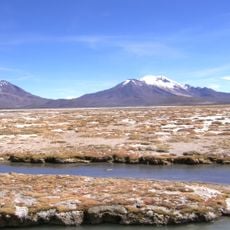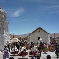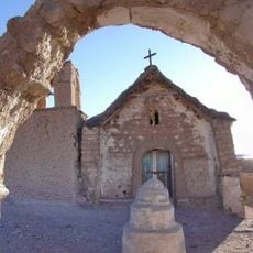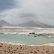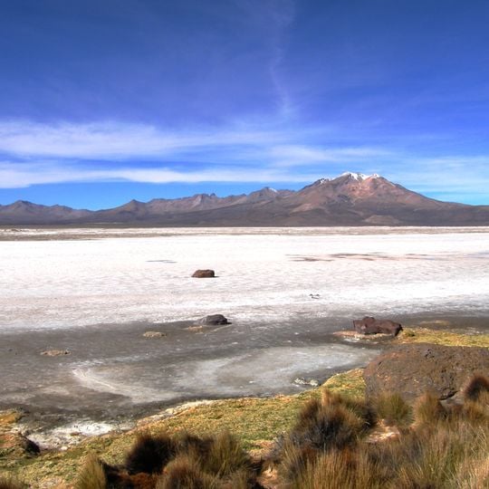
Salar de Surire, Salt pan in Arica y Parinacota Region, Chile.
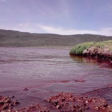
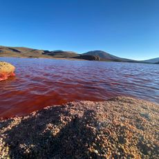
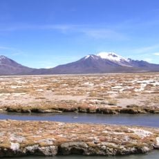
Salar de Surire is a salt pan situated at about 4,260 meters elevation across roughly 144 square kilometers. The landscape displays white salt crusts and shallow lagoons distributed throughout the terrain.
The Monumento Natural Salar de Surire was created in 1983 in the eastern part of the salt pan, covering about 112 km². The salt pan later entered Chile's SNASPE protected-area system, and the site's inception date is recorded as 2 December 1996. Lithium-bearing salt is extracted on the site and trucked out on the access road toward Ruta 11.
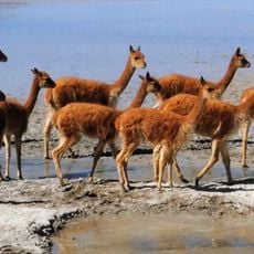
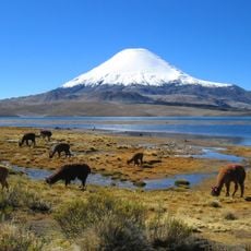
Surire is Aymara for "abundance of suri", the local name for the puna rhea (Rhea pennata tarapacensis), a large flightless bird of the altiplano. The German source gives Surir as the local word for the nandus. Darwin's rheas, puna tinamous, some 11,000 flamingos and vicuñas live in the basin, and llamas are kept there.
Access requires four-wheel-drive vehicles via Route A-235, which connects to the CH-11 international highway toward La Paz. Visitors should prepare for rough road conditions and the high altitude, which demands special precautions.
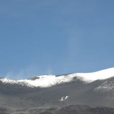
The thermal springs of Polloquere, in the southeast of the salt pan at about 4,225 m, are hot sulfurous pools, not geysers: they give off a strong smell and columns of steam visible from afar on cloudy days. Their water is unfit even for livestock to drink.
The community of curious travelers
AroundUs brings together thousands of curated places, local tips, and hidden gems, enriched daily by 94,619 contributors worldwide.