Arintica, Volcanic summit in Arica y Parinacota Region, Chile
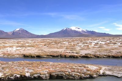
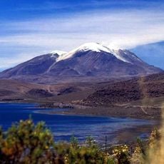
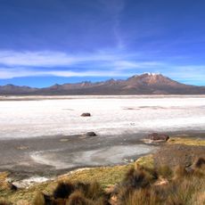
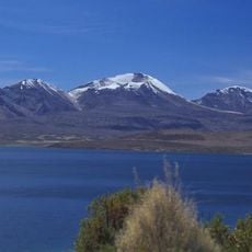
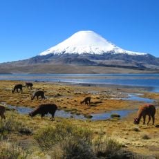
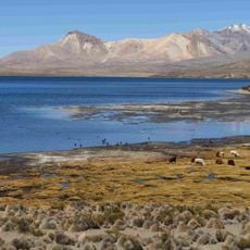
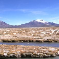
Arintica is a volcanic summit reaching about 5,600 meters in the Andes range, with multiple distinct peaks and a complex structure. Five glaciers surround the mountain and feed the surrounding Salar de Surire basin, while the snowline sits near the highest elevations.
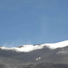
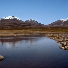
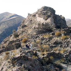
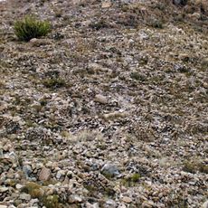
The mountain formed through volcanic activity in two geological phases about 637,000 years ago, bearing witness to this ancient geological history. The lava formations show how the region took shape over a vast span of time.
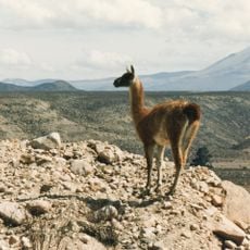
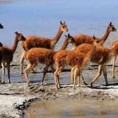
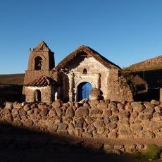
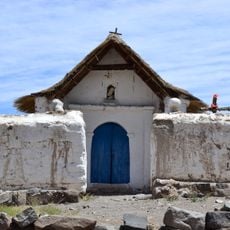
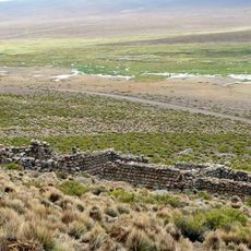
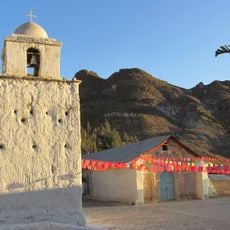
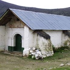
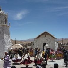
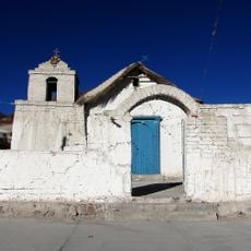
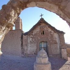
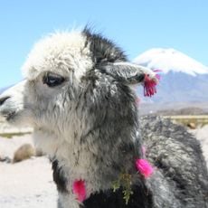
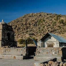
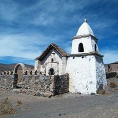
The mountain sits within the Salar de Surire Natural Monument, where local communities maintain ties to this high-altitude region and continue traditional ways of life. Visitors can sense the human presence in this harsh environment, where people have worked with the landscape for generations.
The summit requires serious altitude acclimatization and preparation due to the extreme elevation and harsh climate of the region. Access is difficult and visitors should expect challenging conditions throughout.
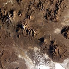
The southwestern flank holds Calajata, a notable lava dome with a different rock composition from the main mountain. Equally remarkable is a rare forest of Polylepis trees that thrives at this elevation, where few plants grow.
The community of curious travelers
AroundUs brings together thousands of curated places, local tips, and hidden gems, enriched daily by 60,000 contributors worldwide.