Las Vicuñas National Reserve, Nature reserve in Parinacota Province, Chile
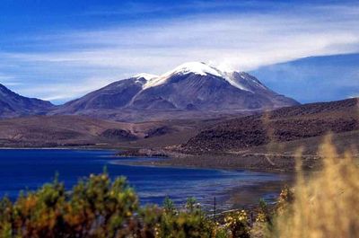
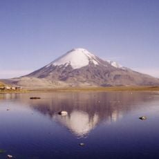
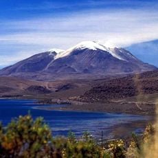
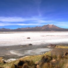
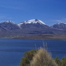
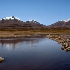
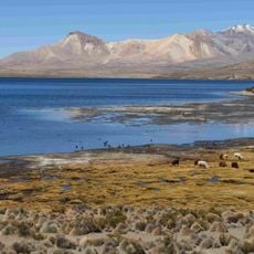
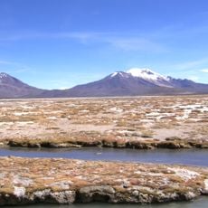
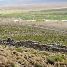
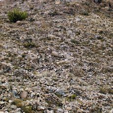
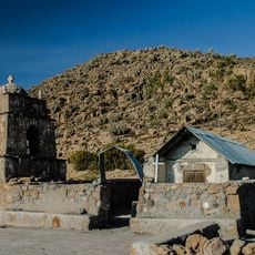
Las Vicuñas National Reserve is a protected area in the Andean puna of Chile's Parinacota Province, with peaks rising above 5,500 meters (18,000 feet). The landscape consists of open, rocky steppes, highland rivers, and volcanic ridges.
The reserve was established in 1983 and is part of the larger Lauca Biosphere Reserve. This classification links it to the neighboring Lauca National Park and Salar de Surire Natural Monument within a shared conservation system.
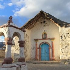
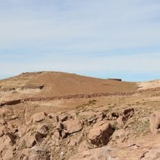
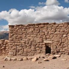
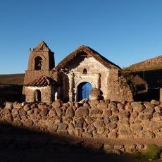
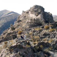
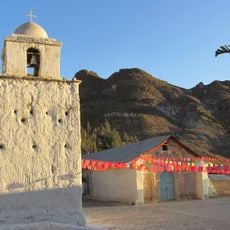
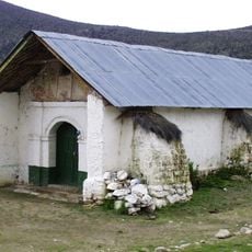
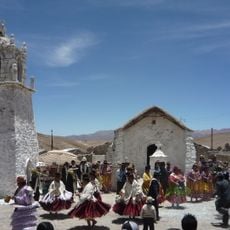
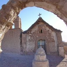
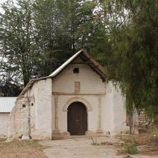
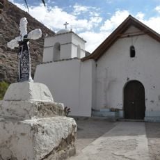
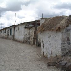
Aymara communities have lived in these highlands for centuries and built stone altars on ridges that are still visible today. These sites were considered sacred by local people and remain part of a living Andean tradition.
The reserve can be reached via the Panamericana Highway between Iquique and Tacna, or through International Route CH-11 connecting Arica and Bolivia. Visitors should prepare for extreme altitude, cold temperatures, and very few facilities on site.
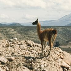
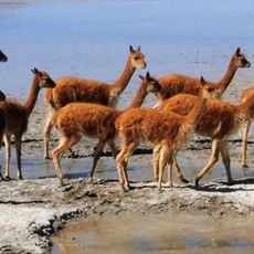
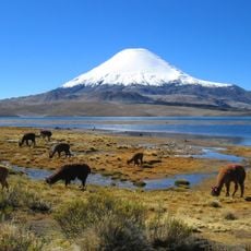
The reserve shelters colonies of vicunas, wild camelids that survive on sparse highland vegetation at extreme altitude. It also hosts Polylepis tomentella, a woody plant that grows at one of the highest elevations where woody plants can exist.
The community of curious travelers
AroundUs brings together thousands of curated places, local tips, and hidden gems, enriched daily by 60,000 contributors worldwide.