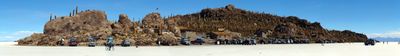
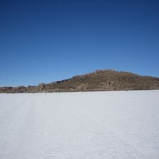
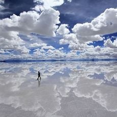
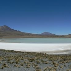
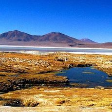
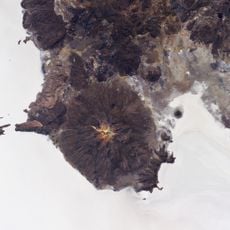
Isla Incahuasi, Ancient volcanic outcrop in Salar de Uyuni, Bolivia
Isla Incahuasi is a rocky outcrop rising about 3,800 meters (12,500 feet) above sea level in the center of the Salar de Uyuni salt flats. Hundreds of giant cacti cover its slopes, creating a striking contrast against the white salt expanse.
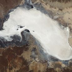
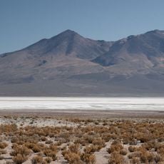
This rock island emerged from an ancient volcano when a prehistoric lake dried out over thousands of years. The geological transformation shaped the current salt desert and left behind this formation as evidence of dramatic environmental change.
The name comes from Quechua language and means Inca House, reflecting the indigenous presence in this salt flat region. Walking across the island lets you connect with this ancestral naming that echoes through the landscape.
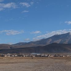
Visitors reach the island through guided tours departing regularly from Uyuni town throughout the day. The hike on the rock is fairly short, but the terrain is uneven and sturdy footwear is recommended.
The rock contains fossil deposits and coral formations that reveal when this spot lay beneath a vast prehistoric lake. These remains tell a story of deep geological change that you can encounter while walking across the formation.
The community of curious travelers
AroundUs brings together thousands of curated places, local tips, and hidden gems, enriched daily by 60,000 contributors worldwide.