Salar de Empexa, Salt pan in Potosí, Bolivia
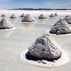
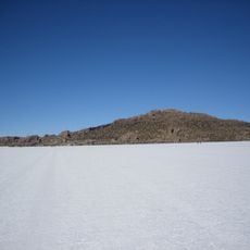
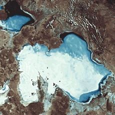
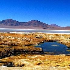
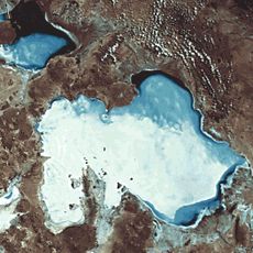
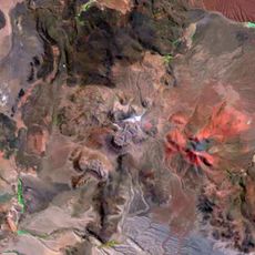
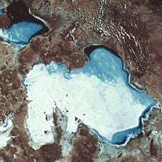
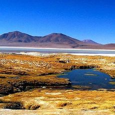
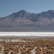
Salar de Empexa is a vast salt flat located in the Bolivian highlands at high elevation. The flat is defined by thick white salt deposits that cover the ground, creating an expansive landscape where the white crust stretches across the basin.
This salt flat formed thousands of years ago when an enormous ancient lake that once covered much of the Bolivian highlands dried up and left behind salt deposits. The evaporation process concentrated minerals and created the thick salt layer visible today.
The salt flat lies in Potosí department, on the Altiplano, and its name is shared with the surrounding Empexa area. The sources document no salt harvesting or working communities here; what they record is the geology: a salt basin formed by evaporation of the ancient Lake Minchin, which also left the Salar de Uyuni and Lake Poopó. Water is thought to seep underground from the Salar de Michincha to the Salar de Coposa and on to Empexa.
The salt pan lies in the Potosí department of the Altiplano, roughly 200 km from Potosí and closer to Uyuni. Access is by road, and the thin air at this altitude calls for acclimatisation and plenty of water. Day and night temperatures differ sharply, so plan clothing for both.
The salt flat lies at the end of an underground water route: water seeps from the Salar de Michincha to the Salar de Coposa and from there to Empexa. Its purest salt covers a central zone 26.9 km long and 10.3 km wide, 138 km² of the 483 km² total.
The community of curious travelers
AroundUs brings together thousands of curated places, local tips, and hidden gems, enriched daily by 94,158 contributors worldwide.