Luxsar, Mountain summit in Nor Lípez Province, Bolivia.
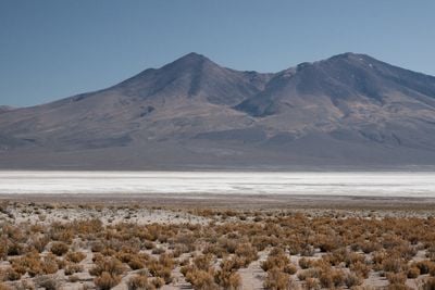
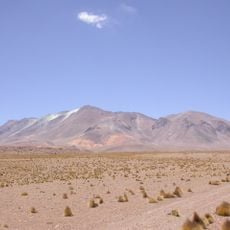
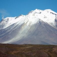
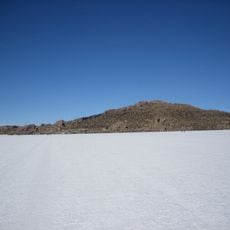
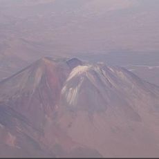
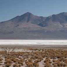
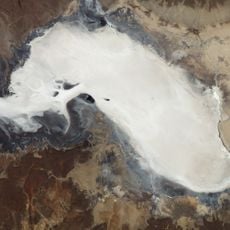
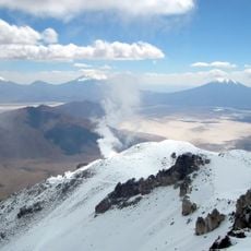
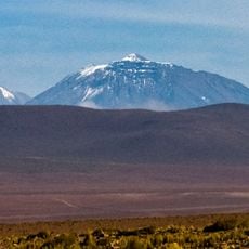
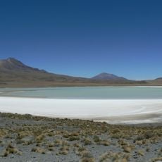
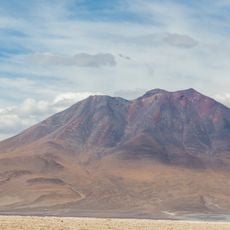
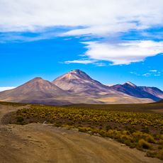
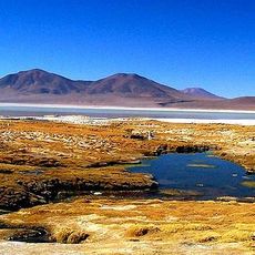
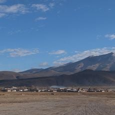
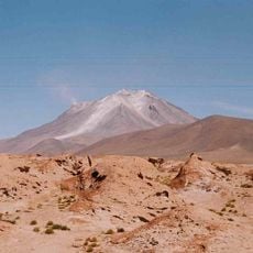
Luxsar is a mountain summit in Nor Lipez Province in southwestern Bolivia, rising to about 5,500 meters in elevation. The peak stands in a dry highland region surrounded by salt flats and neighboring Andean summits.
The mountain was surveyed and documented on topographic maps by Bolivian authorities. The area has a long history of Andean settlement and use by indigenous peoples.
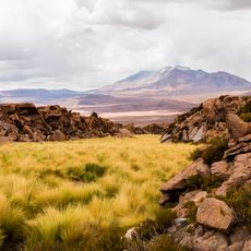
Local communities in the area practice herding and maintain traditional ways of living that are visible in how they use the surrounding landscape. These customs remain central to daily life in the region today.
Visitors need high-altitude gear and should travel with local guides, as the mountain is remote and difficult to access. Good acclimatization is important since the elevation brings significant physical demands.
On clear days, the summit offers views of several neighboring Andean peaks and the vast salt flats below. This perspective reveals the distinctive character of Bolivia's highland landscape in a remarkable way.
The community of curious travelers
AroundUs brings together thousands of curated places, local tips, and hidden gems, enriched daily by 60,000 contributors worldwide.