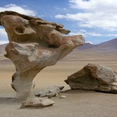
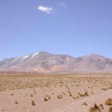
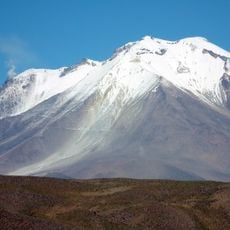
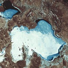
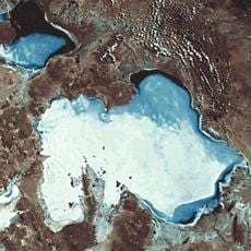
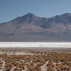
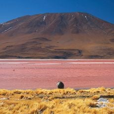
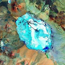
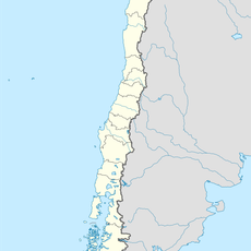
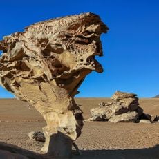
Salar de Chiguana, Salt pan in Potosí Department, Bolivia.
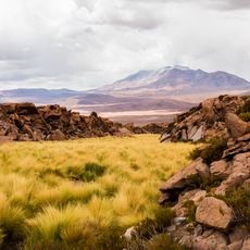
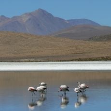
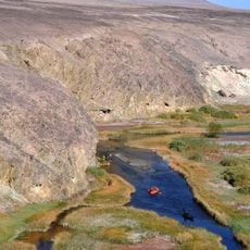
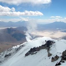
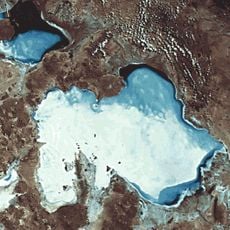
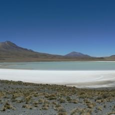
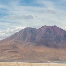
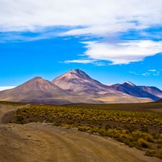
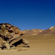
Salar de Chiguana is a vast salt pan in Bolivia's highlands that sits at an extremely high elevation surrounded by volcanic rock formations and mountain ranges. The white salt surface stretches across the landscape in a flat, open expanse with minimal vegetation.
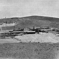
The salt pan lies in a depression fed by small quebradas carrying water from the cordillera and from the Salar de Uyuni. Small boron ore deposits were mined there in the early 1900s and exported to Europe. The railway from Estación Abaroa to Uyuni was later laid across it.
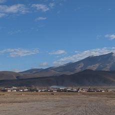
The salt pan lies in the municipality of Colcha K, Nor Lípez Province, and is shared between the cantons of Chiguana and Pilquya, as recorded in Quechua-language sources. Quechua speakers call it Chiwana kachi qucha, "Chiguana salt lake". The railway from Estación Abaroa to Uyuni crosses the flat, a route travellers still see in use.
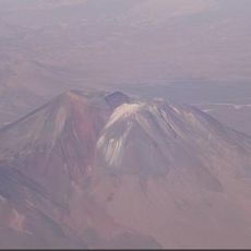
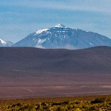
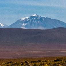
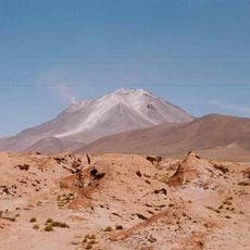
The salt pan lies at 3,650 m, about 25 km from the Avaroa station whose climogram is the closest weather reference; the climate is cold arid (BWk). Approach it along the railway line from Estación Abaroa toward Uyuni, the route that crosses the flat. The surface is salt, with no shade or shelter, and the Ollagüe volcano on the horizon is still active.
The railway crossing the salt pan runs from Estación Abaroa toward Uyuni, not from the mining sites themselves. The borate deposits here were worked in the early 1900s and shipped to Europe, a trade that faded but left the line as the flat's main man-made mark.
The community of curious travelers
AroundUs brings together thousands of curated places, local tips, and hidden gems, enriched daily by 93,611 contributors worldwide.