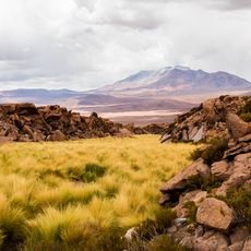
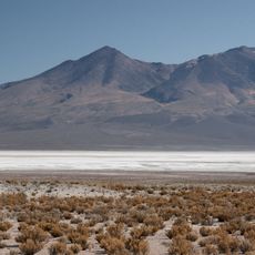
Mancha, Mountain summit in Daniel Campos Province, Bolivia.
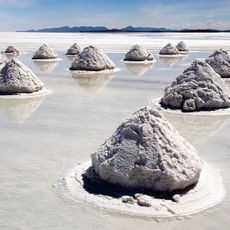
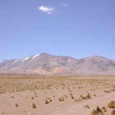
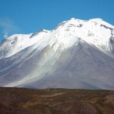
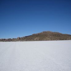
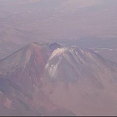
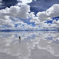
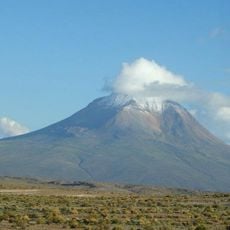
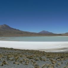
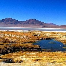
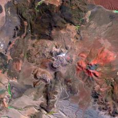
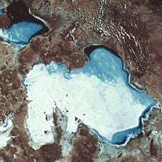
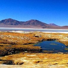
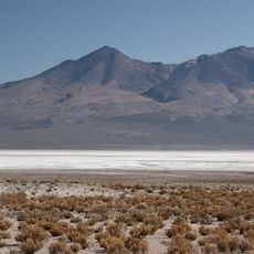
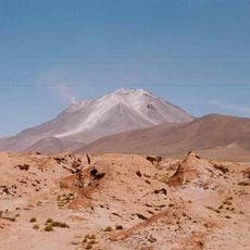
Mancha is a mountain summit in Bolivia's Daniel Campos Province, rising within the Andes range in western Bolivia. It stands between the Uyuni and Napa salt flats at an elevation of approximately 5,000 meters above sea level.
Mancha appears in Bolivian cartography through the Llica municipal records cited by the national statistics institute (INE), which lists the summit at 5,024 m in Daniel Campos Province. The Quechua name, meaning "fear", points to the indigenous naming of the peak before modern surveys. No documented climbing history or dated expedition is recorded in the sources.
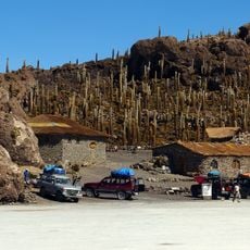
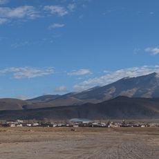
Mancha is a Quechua word meaning "fear", the name carried into the mountain by Quechua-speaking communities of the Bolivian highlands. The peak stands in Llica Municipality, Daniel Campos Province, Potosí Department, the same province whose salt-flat villages are listed in Bolivian INE records.
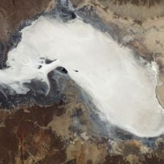
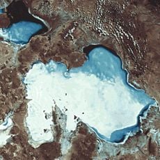
Mancha lies in Llica Municipality, Daniel Campos Province, Potosí Department, between the Uyuni salt flat to the east and the Napa salt flat to the west. The nearest named peaks are Thuwa to the west and Jaruma to the north-west. Approach from the Llica side; the 5,024-metre summit sits far from any town, so plan the route and acclimatisation days before setting out.
The summit serves as a geographical marker between two major salt flats and is bordered by neighboring peaks including Thuwa and Jaruma to the west. This positioning makes it an interesting reference point in the vast high-altitude landscape.
The community of curious travelers
AroundUs brings together thousands of curated places, local tips, and hidden gems, enriched daily by 93,610 contributors worldwide.