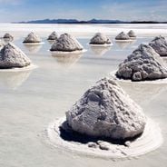
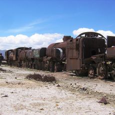
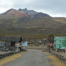
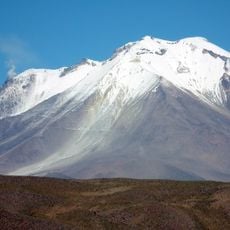
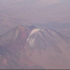
Salar de Uyuni, Salt flat in Potosí Department, Bolivia
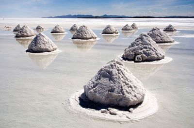
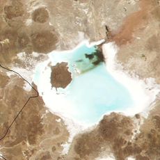
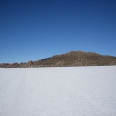
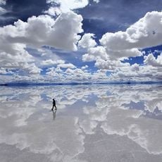
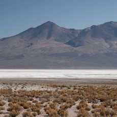
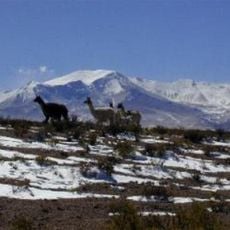
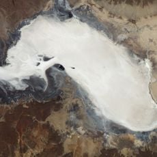
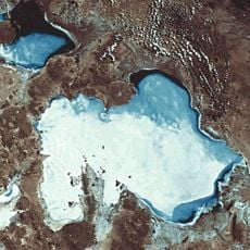
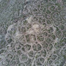
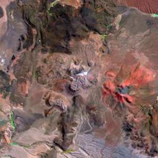
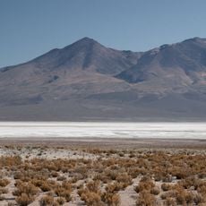
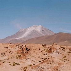
Salar de Uyuni is a vast salt crust between Potosí and Oruro departments, spreading over more than ten thousand square kilometers at an altitude above 3600 meters. The white surface shows hexagonal patterns formed by salt expansion, while lithium-rich brine rests underneath.
Prehistoric lakes evaporated around 40,000 years ago, leaving sodium chloride deposits several meters thick. Modern lithium exploration since the 1980s transformed the economic importance for global battery production.
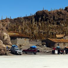
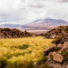
Aymara communities harvest salt as their economic foundation across this remote plateau, with families passing extraction zones through generations and selling harvested salt at regional markets throughout the Andean highlands.
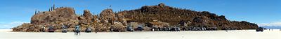
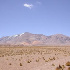
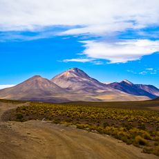
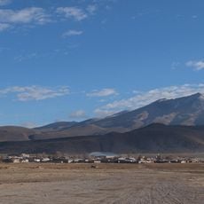
Visitors need sun protection and warm clothing due to rapid temperature changes between day and night. Multi-day tours from Uyuni town with four-wheel-drive vehicles provide the only practical access to this remote expanse.
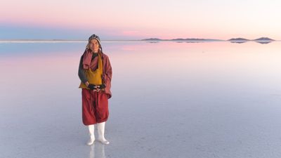
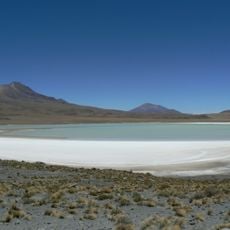
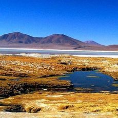
From December to April, rainwater transforms the surface into a giant natural mirror used for satellite calibration. The flat reflection enables precise altitude measurements for orbiting instruments.
Location: Oruro Department
Location: Potosí Department
Elevation above the sea: 3,661 m
GPS coordinates: -20.33333,-67.70000
Latest update: December 12, 2025 16:42
This collection leads to places that remain outside standard tourist circuits. The selection includes natural landscapes and cultural sites that receive limited attention from international visitors. From the salt flats of Bolivia to ancient ruins in Turkish mountain terrain and the ice formations...
The Earth offers a wide range of geological shapes shaped over millions of years by weather and the movements of the land. In Northern Ireland, thousands of basalt columns stand along the coast, leftover from an ancient eruption. In Arizona, the Colorado River carved out a canyon more than 400 miles...
Bolivia sits in the central Andes, linking mountain ranges, high plateau lands, and lowland rainforests in a landlocked country. The changes in altitude create different climate zones and landscapes, from snow-covered peaks to tropical vegetation. Many visitors start in La Paz, a city that clings to...
Isla Incahuasi
12.7 km
Salar de Coipasa
116.5 km
Aucanquilcha
127.1 km
Uyuni Railway Scrap Yard
91.5 km
Tunupa volcano
56.1 km
Ollagüe
118.8 km
Island of the Fish
24 km
Irruputuncu
99.3 km
Uyuni Salt Flat
31.3 km
Volcán Olca
105.6 km
Salar de Chiguana
111.6 km
Alto Toroni
122.7 km
Salar de Empexa
86 km
Volcán Cariquima
134.3 km
Wila Pukarani
129.4 km
Jaruma
74.9 km
Tomasamil
110.3 km
Waylla West
110.6 km
Cerro Cañapa
137.2 km
Laqaya
53.7 km
Mancha
65.9 km
Cerro Porquesa
116 km
Wila Qullu
100.3 km
Thuwa
74.9 km
Qaral
54.7 km
Luxsar
81.6 km
Wanaku
117.9 km
Mine de Collahuasi
128 kmVisited this place? Tap the stars to rate it and share your experience / photos with the community! Try now! You can cancel it anytime.
Discover hidden gems everywhere you go!
From secret cafés to breathtaking viewpoints, skip the crowded tourist spots and find places that match your style. Our app makes it easy with voice search, smart filtering, route optimization, and insider tips from travelers worldwide. Download now for the complete mobile experience.
A unique approach to discovering new places❞
— Le Figaro
All the places worth exploring❞
— France Info
A tailor-made excursion in just a few clicks❞
— 20 Minutes