Potosí Department

Log in to your account

AroundUs is a community-driven map of interesting places, built by curious explorers like you. It grows with every review, story, and photo you share.
Connect to save your favorite spots, contribute locations, and create personalized routes.
Continue with Google
Continue with Apple
Continue with X
Continue with Facebook
Continue with email
By continuing, you accept our Terms and Conditions and our Privacy Policy
Create an account
Add to collection
Map
Suggest a change
Share

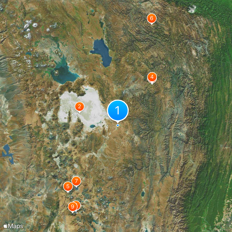
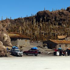
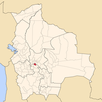
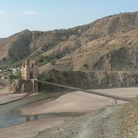
Potosí Department, Administrative department in southwestern Bolivia

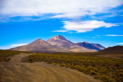
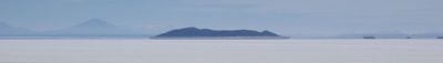
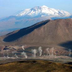
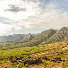
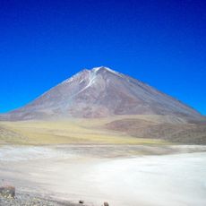
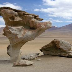
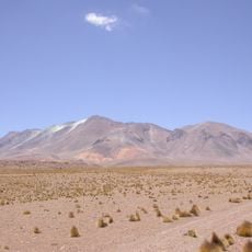
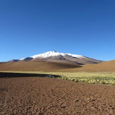
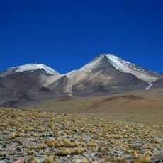
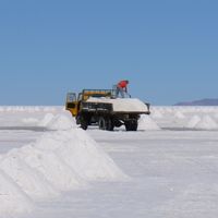
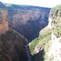
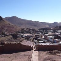
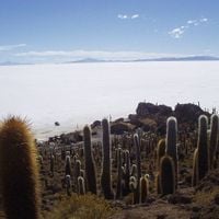
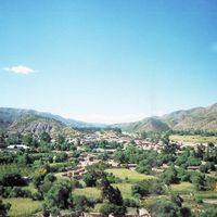
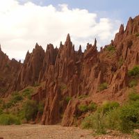
Potosí Department is an administrative division in southwestern Bolivia covering mountainous terrain that includes the Salar de Uyuni salt flat and the mineral-rich Andean highlands. The region divides into sixteen provinces with elevations ranging from valleys to high plateaus above 4,000 meters (13,000 feet).

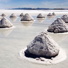
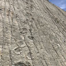
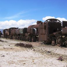
The area contained the most productive silver mines of the Spanish Empire during colonial times, generating enormous wealth through precious metal extraction. The mines shaped the economy and society for centuries before silver reserves declined in the late 19th century.

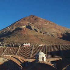
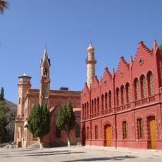
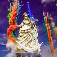
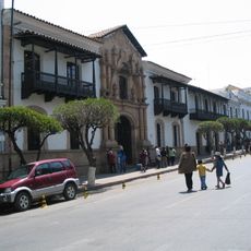
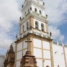
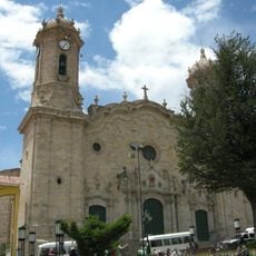
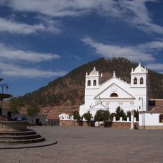
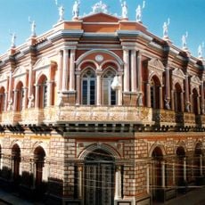
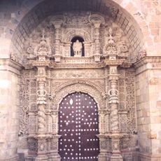
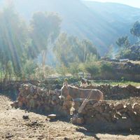
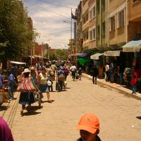
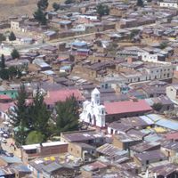
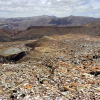
The name comes from the eponymous city that became one of the world's largest population centers during the 16th-century silver rush. Many towns preserve colonial architecture alongside markets where vendors sell local textiles and potato varieties cultivated for generations.

Travelers should prepare for high altitude and rapid weather changes, especially in provinces near the salt flat and highest peaks. The drier months from May through October offer clearer visibility and better road conditions for journeys through remote areas.

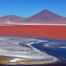
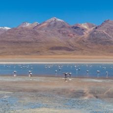
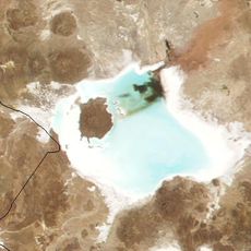
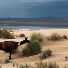
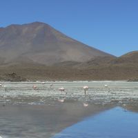
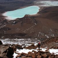
The Eduardo Avaroa Andean Fauna National Reserve holds red and green lagoons where flamingos feed among mineral-colored waters at high altitude. These hues come from algae and sediments that glow intensely depending on light and season.

Location: Bolivia

Inception: January 1, 1826

Capital city: Potosí

Reference: P

Part of: South America Midwest Integrated Zone

Shares border with: Oruro Department, Cochabamba Department, Chuquisaca Department, Tarija Department, Jujuy Province, Antofagasta Region, Tarapacá Region

Website: https://potosi.gob.bo

GPS coordinates: -20.66667,-66.66667

Latest update: December 15, 2025 05:07

Photos
Reviews

Visited this place? Tap the stars to rate it and share your experience / photos with the community! Try now! You can cancel it anytime.

« Potosí Department - Administrative department in southwestern Bolivia » is provided by Around Us (aroundus.com). Images and texts are derived from Wikimedia project under a Creative Commons license. You are allowed to copy, distribute, and modify copies of this page, under the conditions set by the license, as long as this note is clearly visible.

Discover hidden gems everywhere you go!

From secret cafés to breathtaking viewpoints, skip the crowded tourist spots and find places that match your style. Our app makes it easy with voice search, smart filtering, route optimization, and insider tips from travelers worldwide. Download now for the complete mobile experience.

Around Us App Screenshot

A unique approach to discovering new places

Le Figaro

All the places worth exploring

France Info

A tailor-made excursion in just a few clicks

20 Minutes