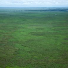
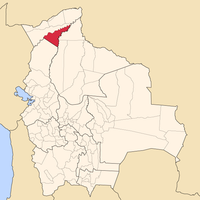
Pando Department, Administrative department in northern Bolivia
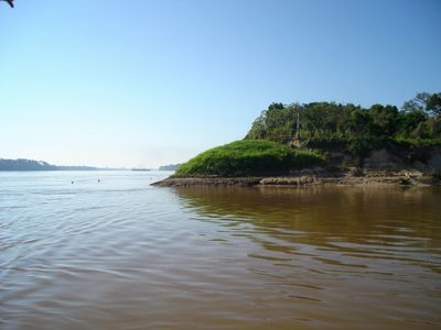
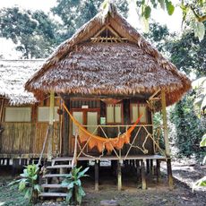
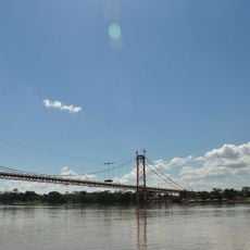
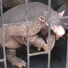
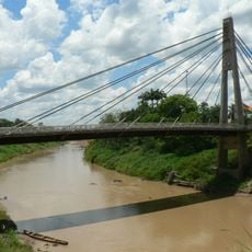
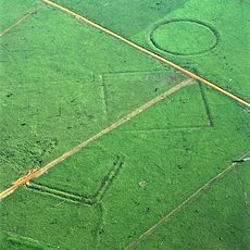
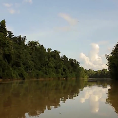
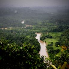
Pando Department is an administrative division in northern Bolivia that covers vast forest regions with thick vegetation and diverse wildlife. Multiple rivers flow through the territory, dividing it into distinct zones and shaping how people move around.
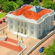
The department formed after Bolivia gained territory from Brazil in a border conflict in the early 1900s. It was named after a former Bolivian president and has remained part of the country's territorial structure since then.
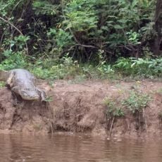
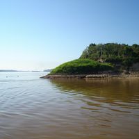
The population follows lowland traditions and practices hunting and fishing methods passed down through generations. These ways of life are deeply connected to the river and forest ecosystem that surrounds them.
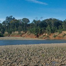
Travel in this region requires advance planning since infrastructure is limited and many places are only accessible by river or air. The drier months are better for visiting when water routes are more predictable.
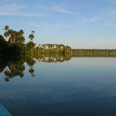
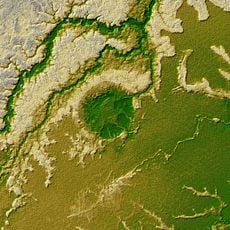
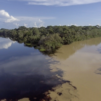
The Manu Wildlife Reserve here contains one of South America's most complex networks of wetland systems. This arrangement allows the forest to handle heavy rainfall and support extraordinary biological diversity.
The community of curious travelers
AroundUs brings together thousands of curated places, local tips, and hidden gems, enriched daily by 60,000 contributors worldwide.