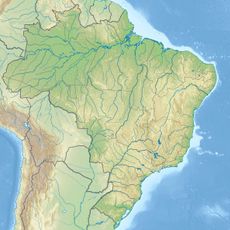
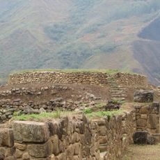
Purús Communal Reserve, Nature reserve in Madre de Dios and Ucayali regions, Peru
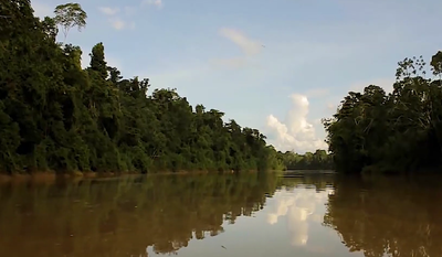
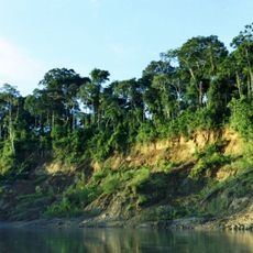
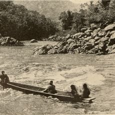
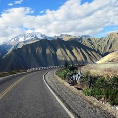
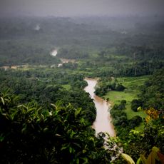
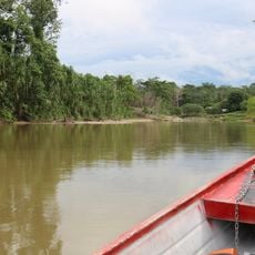
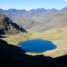
The Purús Communal Reserve is a protected nature area covering about 202,000 hectares of tropical forest along the Purus River in Peru. It contains cedar and mahogany forests with numerous waterways running through the landscape.
The reserve was established by the Peruvian government in 2004 to combat illegal logging and wildlife poaching in the Amazon region. The creation responded to increasing threats facing the forest and its inhabitants.
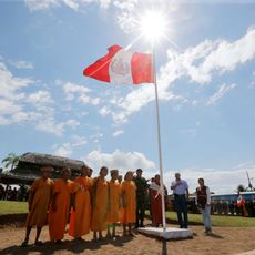
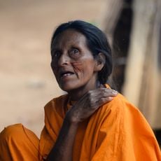
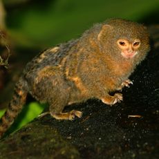
Eight indigenous groups live within the reserve and practice traditional hunting and gathering methods passed down through generations. Some communities deliberately choose to remain isolated from modern contact and maintain their own distinct ways.
Access to the area is managed by the National Service of Natural Protected Areas through control posts staffed by trained indigenous park rangers. Visitors should plan ahead since the location is remote and requires special arrangements.
The reserve hosts one of the world's largest populations of pink river dolphins living in the waterways of the area. These rare dolphin species are difficult to spot but unforgettable for those lucky enough to see them.
Location: Ucayali Department
Location: Madre de Dios Department
Inception: November 18, 2004
Operator: SERNANP
Website: https://sernanp.gob.pe/purus
GPS coordinates: -10.18349,-71.07139
Latest update: December 13, 2025 12:24
Manu National Park
227.1 km
Alto Purús National Park
94.3 km
Tres Hermanas Falls
345.1 km
Serra do Divisor National Park
349.2 km
Pongo de Mainique
298 km
President Guillermo Billinghurst Bridge
338.6 km
Amarakaeri Communal Reserve
293.2 km
Asháninka Communal Reserve
315.2 km
Acre geoglyphs
139.9 km
Machiguenga Communal Reserve
324.2 km
Chicon
356 km
Sahuasiray
351.8 km
Ancasmarca
355.7 km
Wamanmarka
351.9 km
Chandless State Park
80 km
Pumahuanca
354.2 kmManu Airport
234.7 km
Rio Acre Ecological Station
125.1 km
Alto Juruá Extractive Reserve
194 km
Santa Rosa River
105.2 km
Canchacanchajasa
353.1 km
Pucaorjo
348.7 km
Sirihuani
352 kmManú Chico River
222.8 km
Lucumayo River
356.7 km
Chulluncunayoc
347.4 km
Estádio Álvaro Felício Abrahão
285.9 km
Busto Humbert Terrazas
269.8 kmVisited this place? Tap the stars to rate it and share your experience / photos with the community! Try now! You can cancel it anytime.
Discover hidden gems everywhere you go!
From secret cafés to breathtaking viewpoints, skip the crowded tourist spots and find places that match your style. Our app makes it easy with voice search, smart filtering, route optimization, and insider tips from travelers worldwide. Download now for the complete mobile experience.
A unique approach to discovering new places❞
— Le Figaro
All the places worth exploring❞
— France Info
A tailor-made excursion in just a few clicks❞
— 20 Minutes