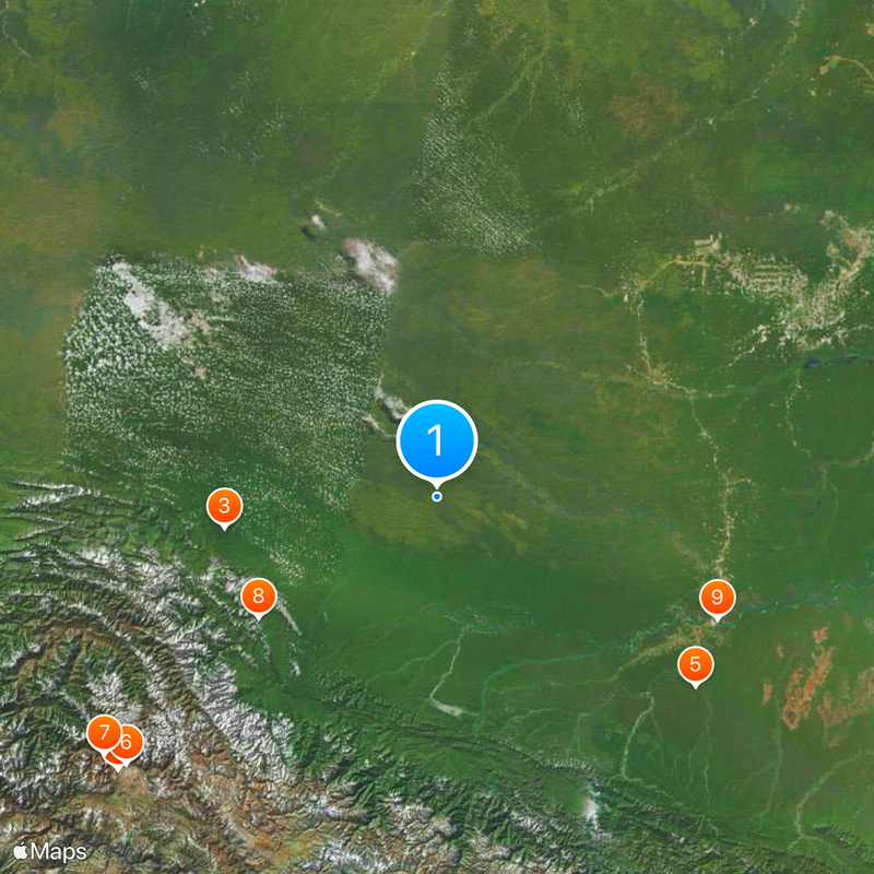
Madre de Dios Department, Administrative region in southeastern Peru.
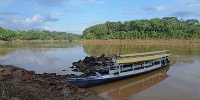
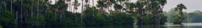
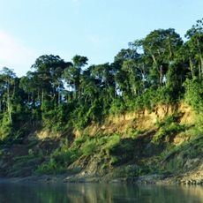
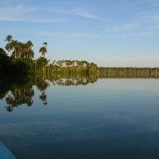
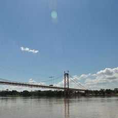
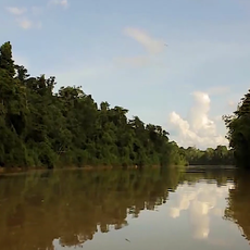
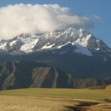
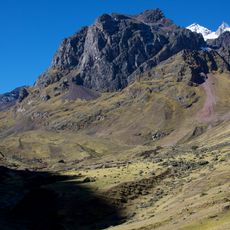
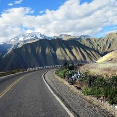
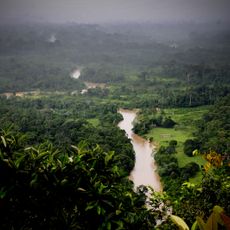
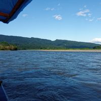
Madre de Dios Department sits in southeastern Peru and covers vast stretches of Amazon rainforest between flat river basins and forested mountain slopes. The landscape shifts between dense jungle, wide rivers, and small settlements scattered across a region as large as a medium-sized European country.
The region stayed largely outside government control until the early twentieth century, when the rubber industry drew people from other parts of Peru. These newcomers founded settlements and created borders that changed life for the resident communities.
The name comes from the river that flows through the region and served for centuries as a waterway for people. Today the towns and villages show a mix of indigenous traditions and the influences of settlers who arrived over the past hundred years.
Boats and small planes are often the only way to reach remote parts, as roads are scarce and many become impassable during the rainy season. Anyone exploring the region should be prepared for heat, high humidity, and sudden downpours.
Inside Manu National Park live groups who have no contact with the outside world and whose languages and ways of life remain undocumented. This part of the national park is completely closed to visitors to protect the residents.
The community of curious travelers
AroundUs brings together thousands of curated places, local tips, and hidden gems, enriched daily by 60,000 contributors worldwide.