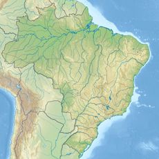
Alto Purús National Park, National park in Ucayali and Madre de Dios, Peru
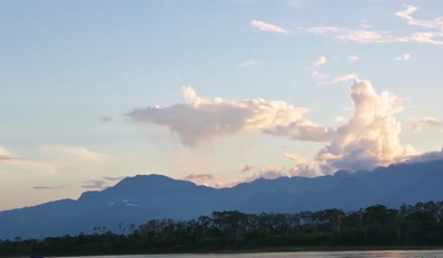
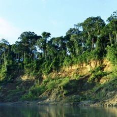
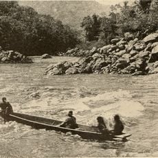
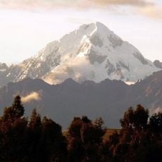
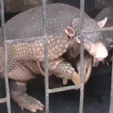
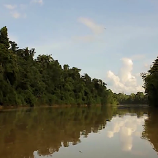
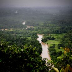
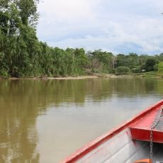
Alto Purús National Park is a protected reserve spanning across two departments in the Amazon basin, encompassing extensive rainforest landscapes with diverse ecological zones. The terrain includes tropical forests, palm groves, rivers with sandy banks, and wetland areas that create a varied natural landscape.
The park was officially established in November 2004 to protect the largest continuous rainforest area within Peru's protected areas system. This designation reflected the government's commitment to preserving one of the country's most ecologically important regions.
Indigenous groups including the Culina, Cashinahua, Sharanahua, Mastanahua, Amahuaca, Ashaninca, and Chaninahua inhabit settlements along the Purús and Curanja rivers, maintaining their connection to the forest. Their presence shapes how the landscape functions as both a home and a source of knowledge passed through generations.
Reaching this destination requires flying from Pucallpa to Puerto Esperanza, as roads do not connect to this remote region. Visitors should prepare for limited facilities and challenging travel conditions typical of deep rainforest areas.
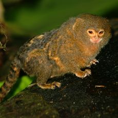
The reserve hosts around 520 bird species, including blue-headed macaws and harpy eagles, which gather at natural clay deposits called colpas. These mineral licks draw birds and other wildlife to specific locations where they feed on nutrient-rich earth.
The community of curious travelers
AroundUs brings together thousands of curated places, local tips, and hidden gems, enriched daily by 60,000 contributors worldwide.