Acre geoglyphs, Prehistoric earthwork formations in Acre, Brazil
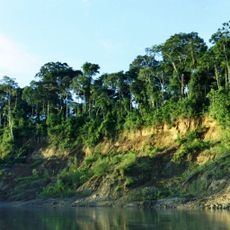
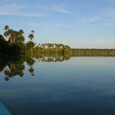
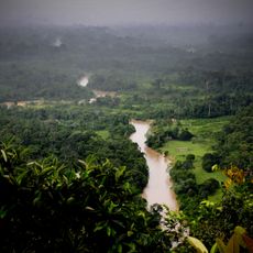
The Acre geoglyphs are prehistoric earthworks spread across the Amazon rainforest landscape, encompassing more than 400 structures with circles, squares, and linear patterns. These shapes were dug directly into the ground and form geometric designs that become visible from above.
The structures were created between 300 BC and 1000 AD and demonstrate advanced engineering skills of pre-Columbian Amazonian societies. This period spans several centuries of cultural development in western Amazonia.
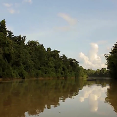
These geometric shapes reveal how indigenous communities organized their lands and made use of the rainforest around them. Visitors can see how people deliberately reshaped the landscape to mark their territories and connection to the environment.
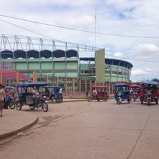
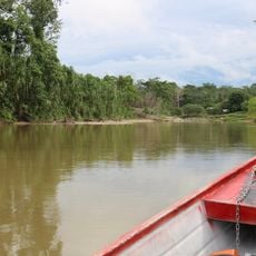
Access to the structures is challenging because they lie deep in the rainforest and are often hard to reach on the ground. A guide with local knowledge is helpful to spot the patterns and navigate safely through the area.
The creators built these structures without metal tools yet used precise measurements for the large-scale designs. Researchers found that the builders worked with simple, locally available materials and remarkable technical skill.
Location: Acre
GPS coordinates: -9.04778,-70.52639
Latest update: December 12, 2025 17:46
Manu National Park
365.9 km
Tambopata National Reserve
452.1 km
Palácio Rio Branco
315.6 km
Alto Purús National Park
232 km
Serra do Divisor National Park
341.6 km
Pongo de Mainique
434.9 km
President Guillermo Billinghurst Bridge
421.2 km
Parque Natural de Pucallpa
449.9 km
Manuripi-Heath Amazonian Wildlife National Reserve
416.5 km
Fundación y colonización de Pucallpa
445.3 km
Estadio Aliardo Soria Pérez
447.6 km
Amarakaeri Communal Reserve
422.5 km
Museu da Borracha Governador Geraldo Mesquita
315.5 km
Purús Communal Reserve
139.9 km
Chico Mendes' house
314.8 km
Estádio José de Melo
315.7 km
Machiguenga Communal Reserve
449.2 kmEstádio Antônio Aquino Lopes
312.4 km
Chandless State Park
110 kmManu Airport
362.3 km
Rio Acre Ecological Station
214.6 km
Alto Juruá Extractive Reserve
177.6 km
Santa Rosa River
42.5 kmManú Chico River
362 km
Estádio Álvaro Felício Abrahão
284.8 km
Seringal Bom Destino
337.2 km
Cine Teatro Recreio
315.9 km
Busto Humbert Terrazas
293.1 kmVisited this place? Tap the stars to rate it and share your experience / photos with the community! Try now! You can cancel it anytime.
Discover hidden gems everywhere you go!
From secret cafés to breathtaking viewpoints, skip the crowded tourist spots and find places that match your style. Our app makes it easy with voice search, smart filtering, route optimization, and insider tips from travelers worldwide. Download now for the complete mobile experience.
A unique approach to discovering new places❞
— Le Figaro
All the places worth exploring❞
— France Info
A tailor-made excursion in just a few clicks❞
— 20 Minutes