Fundación y colonización de Pucallpa, Colonial settlement site in Ucayali Region, Peru.
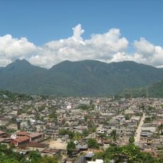
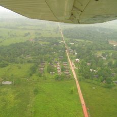
The founding and colonization of Pucallpa grew along the banks of the Ucayali River in the region's eastern area. The settlement expanded from its original street grid of 3 by 7 blocks to accommodate new arrivals and traders seeking opportunities.
Three pioneers named Eduardo Del Águila Tello, Agustín Cáuper Videira, and Antonio Maya de Brito established the first farms in the early 1830s. This founding moment coincided with the rubber boom that would drive the region's economic growth.
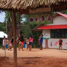
The Shipibo-Konibo people called their territory May Yushin, meaning Land of Demons, reflecting their spiritual connection to the land before outsiders arrived. This name reveals how the indigenous community understood and related to their environment.
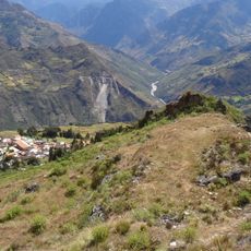
The area is best explored starting from the river, since the Ucayali served as the settlement's natural lifeline and historical transport route. The dry season offers the easiest access to riverside areas and their historical traces.
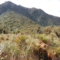
The name comes from Quechua words puca and allpa, meaning red earth, referring to the distinctive reddish clay soil found throughout the region. This soil color remains visible today and shapes the landscape's appearance.
The community of curious travelers
AroundUs brings together thousands of curated places, local tips, and hidden gems, enriched daily by 60,000 contributors worldwide.