Cordillera Azul National Park

Log in to your account

AroundUs is a community-driven map of interesting places, built by curious explorers like you. It grows with every review, story, and photo you share.
Connect to save your favorite spots, contribute locations, and create personalized routes.
Continue with Google
Continue with Apple
Continue with X
Continue with Facebook
Continue with email
By continuing, you accept our Terms and Conditions and our Privacy Policy
Create an account

Cordillera Azul National Park

Add to collection
Map
Suggest a change
Share

Cordillera Azul National Park, Protected rainforest area in Loreto, San Martín, Huánuco, and Ucayali regions, Peru.

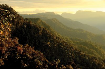
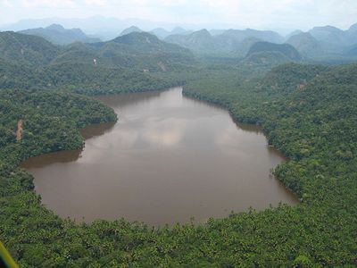
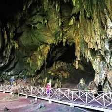
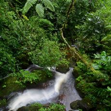
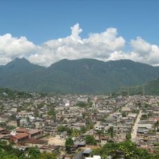
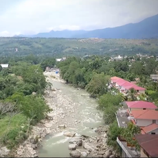
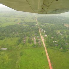
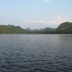
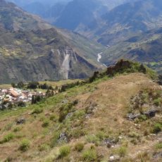
Cordillera Azul National Park is a protected rainforest area spanning Loreto, San Martín, Huánuco, and Ucayali regions with highly varied landscapes. The terrain ranges from lowland forests to mountain ridges, containing rivers, valleys, and highland zones that support distinct wildlife communities at different elevations.

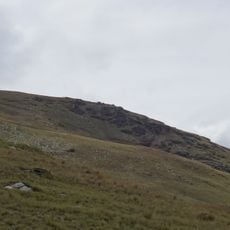
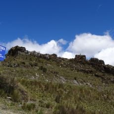
The mountain range formed through geological processes spanning millions of years, with the area submerged beneath ancient seas multiple times. This long geological history shaped the landscape and created the conditions for the region's exceptional biological diversity.

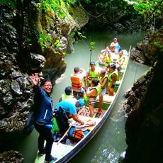
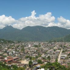
The park borders lands of the Kakataibo people, who have inhabited these forests for generations and maintain deep knowledge of the ecosystems. Local communities in the surrounding region participate in managing natural resources and benefit from forest protection.

The park is best visited between May and October when conditions are drier and access to trails is easier. Hiring a local guide is essential for safely navigating the different forest zones and observing wildlife across the varied terrain.

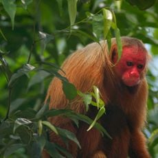
The park contains an extraordinary range of plant and animal species, with some animals found nowhere else on Earth. This biological richness makes it a hotspot for researchers studying tropical forest ecology and species conservation.

Location: Loreto Department

Location: Huanuco Department

Location: San Martin Department

Location: Ucayali Department

Inception: 2001

Operator: SERNANP

Website: http://sernanp.gob.pe/cordillera-azul

GPS coordinates: -7.75000,-75.94000

Latest update: December 7, 2025 10:08

Photos
Reviews

Visited this place? Tap the stars to rate it and share your experience / photos with the community! Try now! You can cancel it anytime.

« Cordillera Azul National Park - Protected rainforest area in Loreto, San Martín, Huánuco, and Ucayali regions, Peru » is provided by Around Us (aroundus.com). Images and texts are derived from Wikimedia project under a Creative Commons license. You are allowed to copy, distribute, and modify copies of this page, under the conditions set by the license, as long as this note is clearly visible.

Discover hidden gems everywhere you go!

From secret cafés to breathtaking viewpoints, skip the crowded tourist spots and find places that match your style. Our app makes it easy with voice search, smart filtering, route optimization, and insider tips from travelers worldwide. Download now for the complete mobile experience.

Around Us App Screenshot

A unique approach to discovering new places

Le Figaro

All the places worth exploring

France Info

A tailor-made excursion in just a few clicks

20 Minutes