San Martin Department, Administrative region in northern Peru
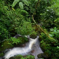
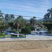
San Martin is an administrative region in northern Peru that covers different types of terrain from mountains to dense rainforest along the Huallaga River and its tributaries. The area spans roughly 51,288 square kilometers (19,803 square miles) and connects mountain landscapes with forested river valleys where numerous smaller settlements are located.
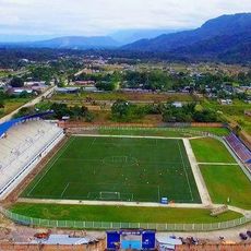
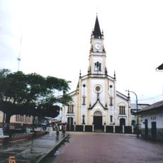
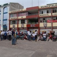
Moyobamba in this region was the first Peruvian city to declare independence from Spanish colonial rule in 1821. Later the territory developed into a significant center for tropical agriculture after new roads connected the remote provinces.
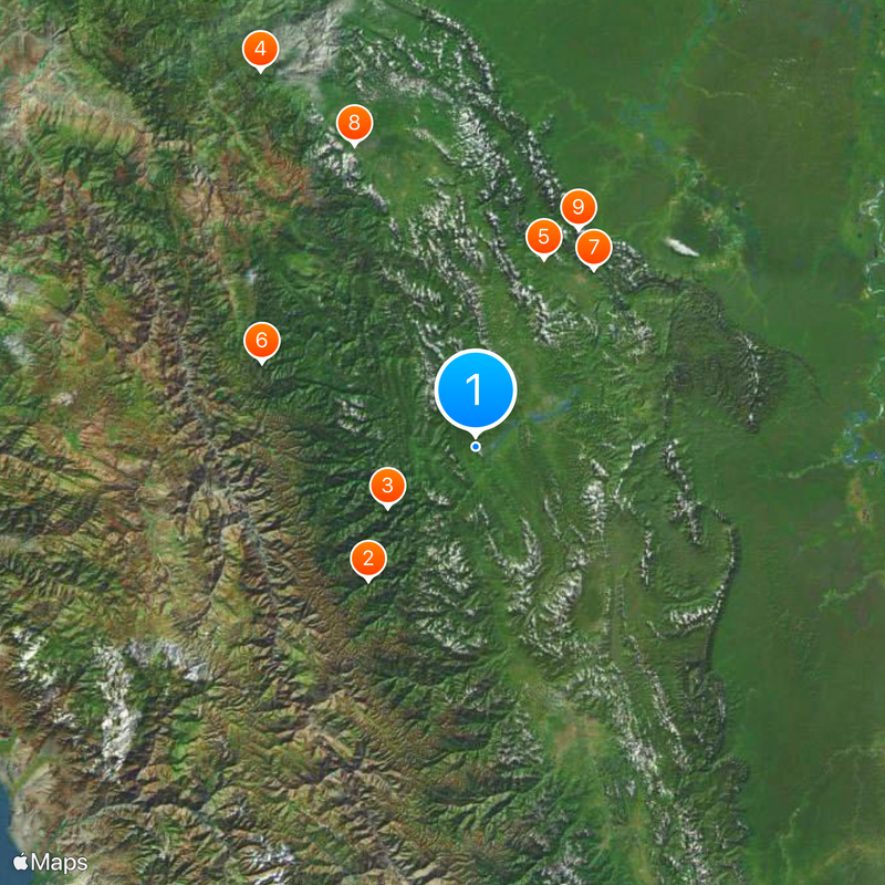
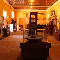
This territory takes its name from South American independence leader José de San Martín and its residents maintain local traditions across towns along the Huallaga River. Weekly markets feature vendors selling tropical fruit and handwoven baskets, while smaller settlements still use traditional cooking methods with banana leaves.
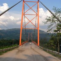
New road connections have improved access to the different provinces, making it easier for travelers to move between towns. Vegetation and climate change noticeably when descending from higher elevations into the lower river valleys.
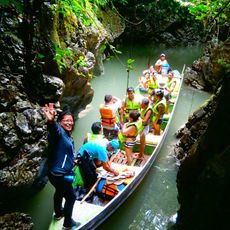
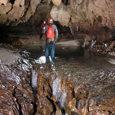
The Gran Pajáten archaeological site lies hidden in dense jungle near the La Libertad border and displays circular buildings made from slate decorated with condor figures. The ruins sit on a forested mountain slope and can only be reached after a longer walk through the rainforest.
The community of curious travelers
AroundUs brings together thousands of curated places, local tips, and hidden gems, enriched daily by 60,000 contributors worldwide.