Tocache Province, Administrative province in San Martin Department, Peru
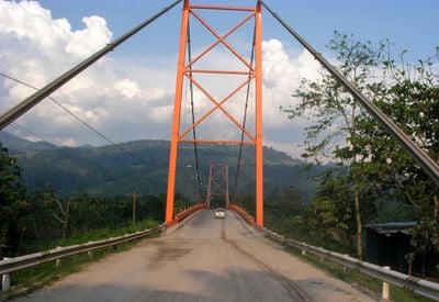
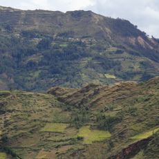
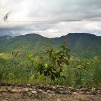
Tocache Province is an administrative region in San Martín Department in northern Peru that covers an area of approximately 5,865 square kilometers (2,264 square miles). The territory comprises five districts and is characterized by tropical forests and river valleys.
This province was formally established through legislation on December 6, 1984, during Fernando Belaúnde's presidency. The administrative reform was part of efforts to reorganize regional divisions in eastern Peru during that period.
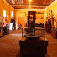
Local communities have built their lives around farming and forest resources, with traditional growing methods and small markets shaping daily routines. People here have adapted to tropical conditions and depend on what the land provides for their livelihoods.
The administrative center is located in the town of Tocache, which serves as the main hub for accessing the region. Visitors should prepare for tropical conditions with high humidity and frequent rain, bringing appropriate gear for these weather patterns.
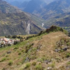
The region remains sparsely populated with vast forest areas that remain largely unexplored and shelter diverse wildlife and plant species. This isolation means that natural landscapes have been preserved at a scale rare in the modern world.
The community of curious travelers
AroundUs brings together thousands of curated places, local tips, and hidden gems, enriched daily by 60,000 contributors worldwide.