Ucayali Department
Ucayali Department, Administrative region in eastern Peru
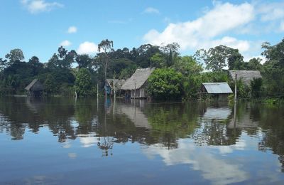
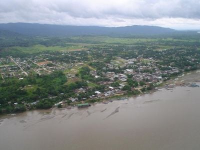
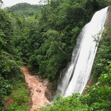
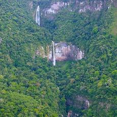
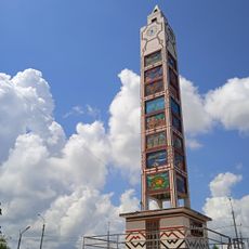
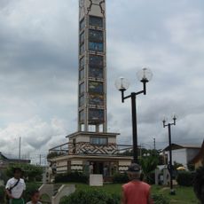
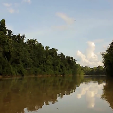
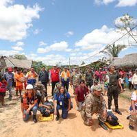
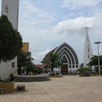
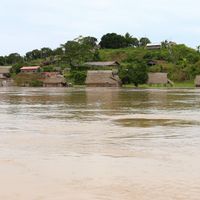
The Ucayali Department is an administrative region in eastern Peru that covers a large area of Amazon rainforest crossed by many rivers. The capital, Pucallpa, sits on the Ucayali River, while most of the territory consists of dense tropical forest and scattered settlements.
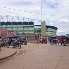
The region remained largely isolated until the mid-20th century, reachable only by river and air. Pucallpa grew into the main city during the 1940s when new connections made access to the rest of the country easier.
Communities along the rivers practice pottery and textile work, with designs that reflect the patterns and symbols of Asháninka and Shipibo traditions. Wooden boats are the main means of travel and trade, connecting families and villages across waterways where roads do not reach.
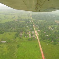
Flights from Lima to Pucallpa take about an hour and provide the fastest way into the region. Visitors planning to reach remote areas should expect longer boat journeys and bring gear suited to hot and humid conditions.
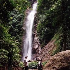
The Purús Province on the border with Brazil is among the least visited areas in Peru and contains large stretches of forest without road access. Travelers reach this zone only by plane or through river journeys that take several days.
Location: Peru
Capital city: Pucallpa
Shares border with: Loreto Department, Madre de Dios Department, Cusco Department, Junin Department, Pasco Department, Huanuco Department, Acre
GPS coordinates: -9.96000,-73.19000
Latest update: December 13, 2025 16:07
Huagapo
319.3 km
Velo de la Novia, Perené
232.4 kmOtishi National Park
217.1 km
Tres Hermanas Falls
230.1 km
Pampa Hermosa National Sanctuary
277.9 km
Panguana
195.3 km
Serra do Divisor National Park
203.8 km
Pui Pui Protection Forest
252 km
Parque Natural de Pucallpa
230.7 km
Catarata Bayoz
233 kmEl Sira Communal Reserve
141.7 km
Reloj Público
228.7 km
Fundación y colonización de Pucallpa
228.2 km
Estadio Aliardo Soria Pérez
229.5 km
Yanesha Communal Reserve
219.1 km
Asháninka Communal Reserve
204.5 km
San Matías–San Carlos Protection Forest
208.5 km
Acre geoglyphs
309.6 km
Purús Communal Reserve
233.5 km
Catarata El Tirol
268.5 km
Saint Anne Church
317.9 km
Machiguenga Communal Reserve
204.1 km
Oxapampa-Ashaninka-Yanesha
227.3 kmSierra del Divisor Reserved Zone
361.5 km
Cashibo
238.7 kmImiría Regional Conservation Area
163.1 kmDucha del Diablo
290.8 km
Waqurunchu
307 kmVisited this place? Tap the stars to rate it and share your experience / photos with the community! Try now! You can cancel it anytime.
Discover hidden gems everywhere you go!
From secret cafés to breathtaking viewpoints, skip the crowded tourist spots and find places that match your style. Our app makes it easy with voice search, smart filtering, route optimization, and insider tips from travelers worldwide. Download now for the complete mobile experience.
A unique approach to discovering new places❞
— Le Figaro
All the places worth exploring❞
— France Info
A tailor-made excursion in just a few clicks❞
— 20 Minutes