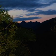
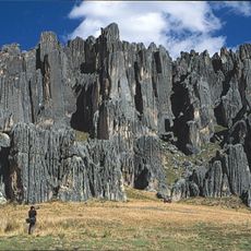
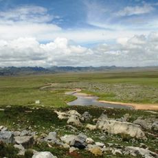
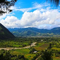
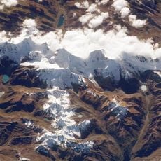
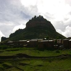
Waqurunchu, Mountain summit in Pasco province, Peru.
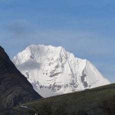
Waqurunchu is a mountain in Pasco province that rises to 5,723 meters within the Cordillera Oriental. Its steep slopes extend across the terrain between the communities of Ticlacayan and Huachon.
The first documented ascent took place in 1956, when British mountaineers Michael Westmacott and John Streetly reached the summit on August 17. This climb was recorded in the American Alpine Journal.
The mountain carries several names: Huaguruncho, meaning "white fang" or "snow fang" in Quechua-influenced usage, and Tarata, the official name of its highest peak. The IGN map labels a minor western peak Huaguruncho Chico, a naming detail walkers in the Ticlacayan and Huachón districts can check against local maps.
The summit lies on the border of the Huachón and Ticlacayan districts, in the Pasco Region; the IGN map places a minor peak, Huaguruncho Chico, just west of it in Ticlacayan District. Approach routes therefore start from the Huánuco–Pasco departmental boundary. The 1956 first ascent was made on 17 August, in the southern-hemisphere winter.
The summit that John Kempe's 1956 expedition reached is officially named Tarata; Huaguruncho Chico, a minor peak west of it in Ticlacayan District, appears under that name on IGN maps. The mountain also bears the nickname Colmillo Blanco, or White Fang.
The community of curious travelers
AroundUs brings together thousands of curated places, local tips, and hidden gems, enriched daily by 93,010 contributors worldwide.