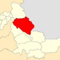
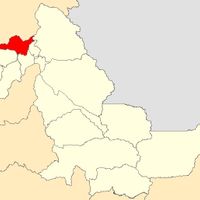
Coronel Portillo Province, Administrative province in Ucayali Region, Peru
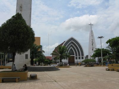
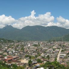
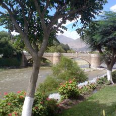
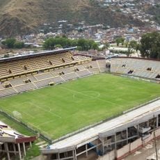
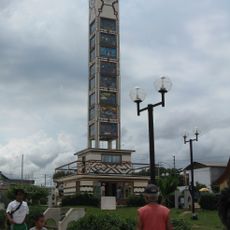
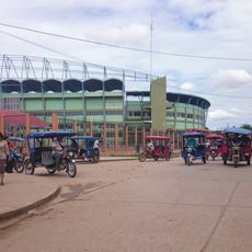
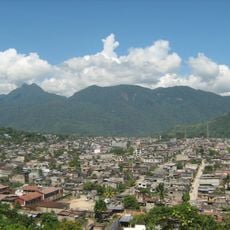
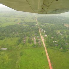
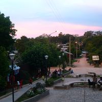
Coronel Portillo is a province in the Ucayali Region that stretches across a large area with several different districts distributed along the Ucayali River. The territory includes varying landscapes and settlements, with Pucallpa serving as the main urban center.
The province was established in 1943 and named after Colonel Pedro Portillo, who made significant contributions to improving regional communication routes in the early 20th century. His work helped develop the infrastructure that connected this area to other regions.
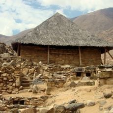
Indigenous communities throughout the region speak Quechua, Asháninka, and Aymara alongside Spanish, reflecting their connection to traditional ways of life. These languages remain part of daily life in many villages and show the cultural diversity of the population.
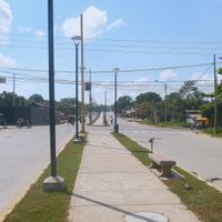
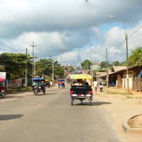
The province is connected by a network of roads linking the various districts together, with Pucallpa serving as the main transportation hub. Visitors should note that road conditions may vary depending on the season, especially during the rainy period.
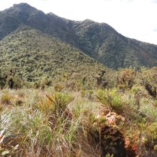
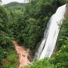
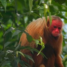
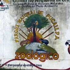
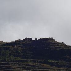
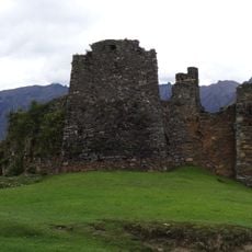
Within the province lies the El Sira Communal Reserve, a protected area that shelters rare plant and animal species of the Amazon rainforest. This reserve is less well-known than other conservation areas in the region but offers visitors direct access to undisturbed wilderness.
The community of curious travelers
AroundUs brings together thousands of curated places, local tips, and hidden gems, enriched daily by 60,000 contributors worldwide.