Yarinacocha, Administrative district in Coronel Portillo Province, Peru.
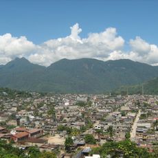
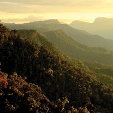
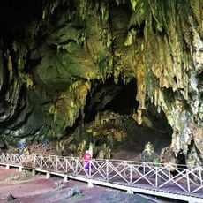
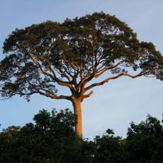
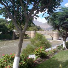
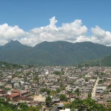
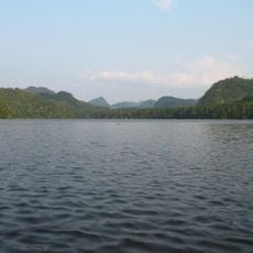
Yarinacocha is an administrative district in Coronel Portillo Province centered around Lake Yarinacocha, a large water body that shapes the landscape. The district borders Callería to the north, south, and east, and lies close to the Ucayali River, forming part of Peru's jungle region.
The district was founded on October 16, 1964, with Puerto Callao designated as its capital and several settlements brought under its administration. This establishment created the political structure that defines the area today.
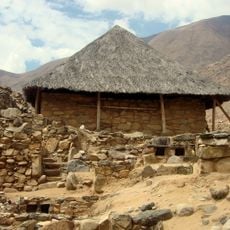
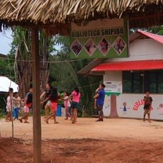
The Shipibo-Conibo people, part of the Pano ethnic group, live along the shores of Lake Yarinacocha and continue practicing their traditional crafts and way of life. Visitors can observe their artisan work and daily routines in communities scattered around the water.
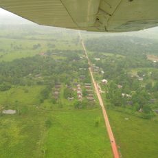
The area is connected to other major Peruvian cities through Captain FAP David Abensur Rengifo Airport, making arrival straightforward. Plan visits during drier months when lakes and jungle areas are more accessible for exploration.
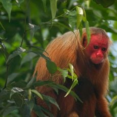
Lake Yarinacocha is a natural lagoon of considerable size that supports fishing communities as their primary resource and sustains diverse aquatic wildlife. The waters are economically vital to local populations and shape daily life throughout the region.
Location: Coronel Portillo Province
Capital city: Puerto Callao
Elevation above the sea: 153 m
Shares border with: Callería, Campoverde, Nueva Requena
Address: Los Cedros MZ B lote 3, Pucallpa 25004, Peru
Phone: +51904163564
Website: http://muniyarinacocha.gob.pe
GPS coordinates: -8.35380,-74.57680
Latest update: December 8, 2025 13:42
Kotosh
256.6 kmShanaya Tipishca
54.2 km
Tingo María National Park
193.4 km
Cordillera Azul National Park
164.6 km
Yanachaga–Chemillén National Park
242.1 km
Cave of the owls
193 km
Panguana
145.7 km
Sierra del Divisor National Park
132.3 km
Serra do Divisor National Park
121.2 km
Parque Natural de Pucallpa
4.4 km
Puente Calicanto
253.4 km
Estadio Heraclio Tapia
255.2 km
Fundación y colonización de Pucallpa
7.4 km
Estadio Aliardo Soria Pérez
5.5 km
Yanesha Communal Reserve
228.1 km
San Matías–San Carlos Protection Forest
249.7 km
Pumarinri
191 km
Oxapampa-Ashaninka-Yanesha
256.4 km
Cruzpampa
257.7 km
Iglesia de San Cristóbal, Huánuco
253.2 km
Jardín botánico de Tingo María
189.4 km
Cashibo
10.7 km
Pisqui River
115.2 km
Shillacoto
254.6 km
Rapayán
257.8 km
Susupillu
259.2 km
Archaeological Center of Ichu Yanuna
231.3 km
Shipibo Library
11.3 kmVisited this place? Tap the stars to rate it and share your experience / photos with the community! Try now! You can cancel it anytime.
Discover hidden gems everywhere you go!
From secret cafés to breathtaking viewpoints, skip the crowded tourist spots and find places that match your style. Our app makes it easy with voice search, smart filtering, route optimization, and insider tips from travelers worldwide. Download now for the complete mobile experience.
A unique approach to discovering new places❞
— Le Figaro
All the places worth exploring❞
— France Info
A tailor-made excursion in just a few clicks❞
— 20 Minutes