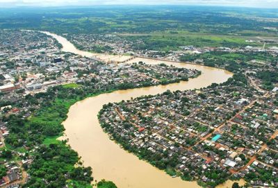
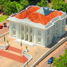
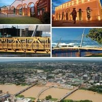
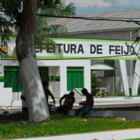
Acre, State capital in western Amazon, Brazil.
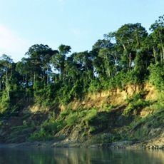
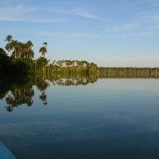
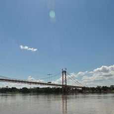
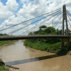
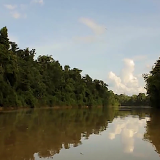
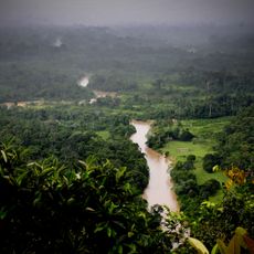
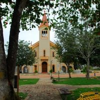
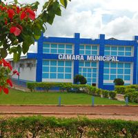
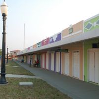
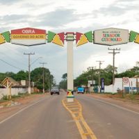
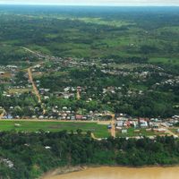
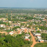
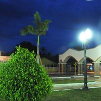
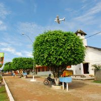
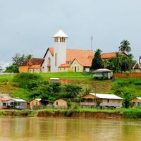
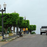
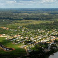
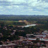
Acre is a state in western Amazonia, bordering Peru and Bolivia, covered largely by rainforest and crossed by rivers that flow into the Amazon basin. Small towns and remote communities dot the landscape along the few paved roads that cut through the forest.
The territory was ceded from Bolivia to Brazil in the early twentieth century after rubber tappers from the northeast established settlements there. Statehood came decades later as the region integrated further into the Brazilian federation.
The Federal University of Acre in Rio Branco maintains research programs focused on Amazonian biodiversity, traditional medicine, and regional development studies.
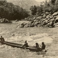
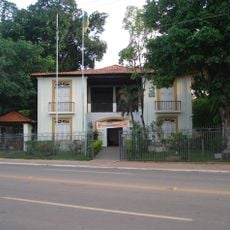
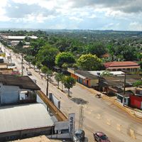
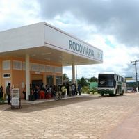
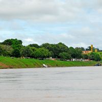
The capital Rio Branco serves as a starting point for travel into remote areas, with river boats and small planes often the only links to distant settlements. Rainy and dry seasons shape access to many routes and waterways inland.
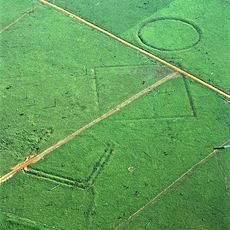
Archaeologists have found geometric earthworks beneath the canopy, believed to be made by societies that lived in this part of the rainforest long before Europeans arrived. These structures suggest the region was more densely populated than once thought.
Location: Brazil
Inception: June 15, 1962
Capital city: Rio Branco
Elevation above the sea: 234 m
Reference: AC
Part of: North Region
Shares border with: Amazonas, Rondônia, Pando Department, Madre de Dios Department, Ucayali Department, Loreto Department
Website: http://ac.gov.br
GPS coordinates: -9.03333,-70.51667
Latest update: December 14, 2025 19:25
Manu National Park
367.8 km
Tambopata National Reserve
453.3 km
Palácio Rio Branco
315.1 km
Serra do Divisor National Park
342.1 kmMegatoni National Sanctuary
418.3 kmPusharo
409.3 km
Pongo de Mainique
436.8 km
President Guillermo Billinghurst Bridge
422.3 km
Manuripi-Heath Amazonian Wildlife National Reserve
417.1 km
Amarakaeri Communal Reserve
424.3 km
Wilson Pinheiro Binational Bridge
293.5 kmRostro de Harakbut
447.8 kmMameria
440.8 km
Museu da Borracha Governador Geraldo Mesquita
315.1 km
Acre geoglyphs
1.9 kmChico Mendes Extractive Reserve
182.3 km
Purús Communal Reserve
141.8 km
Chico Mendes' house
314.3 km
Estádio José de Melo
315.2 km
Brazil-Peru Integration Bridge
236.1 kmEstádio Antônio Aquino Lopes
312 kmManu Learning Centre
428.9 km
Chandless State Park
111.4 kmTambopata Butterfly Farm
421.6 kmImiría Regional Conservation Area
399.5 kmPetroglyphs of Jinkiori
446.5 kmCazumbá-Iracema Extractive Reserve
184 kmSierra del Divisor
359.2 kmVisited this place? Tap the stars to rate it and share your experience / photos with the community! Try now! You can cancel it anytime.
Discover hidden gems everywhere you go!
From secret cafés to breathtaking viewpoints, skip the crowded tourist spots and find places that match your style. Our app makes it easy with voice search, smart filtering, route optimization, and insider tips from travelers worldwide. Download now for the complete mobile experience.
A unique approach to discovering new places❞
— Le Figaro
All the places worth exploring❞
— France Info
A tailor-made excursion in just a few clicks❞
— 20 Minutes