Xapuri, municipality in Acre, Brazil
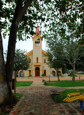
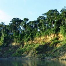
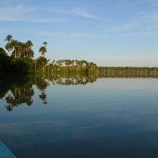
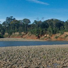
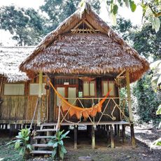
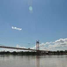
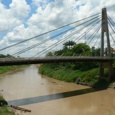
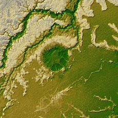
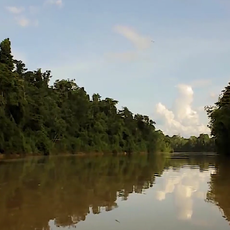
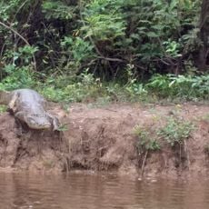
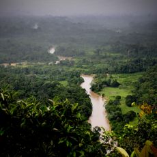
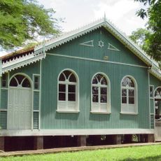
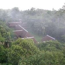
Xapuri is a small municipality in Acre state in southwestern Brazil, situated where the Xapuri River meets the Acre River near the border with Peru. The town features wide streets lined with wooden houses and is surrounded by dense forests and rivers that shape the daily rhythms and livelihoods of its residents.
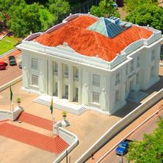
Xapuri was founded in 1883 as a trading center during the rubber boom and officially became a town in 1904. The region shifted from Bolivian to Brazilian control after the Acre War, with José Plácido de Castro leading a successful revolt from here in 1902 that declared the territory independent.
Xapuri carries the stories of rubber tapping communities in its everyday life and local markets. The town reflects the enduring relationship between its people and the forest through traditional crafts made from natural materials and the way local residents continue practices passed down through generations.
The town is easily reached by road from Rio Branco, the capital of Acre, located about 75 miles away with peaceful travel through forest scenery. Visitors should expect basic lodging and wear sturdy footwear for exploring, as streets are unpaved and the area becomes muddy during rainy seasons.
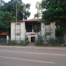
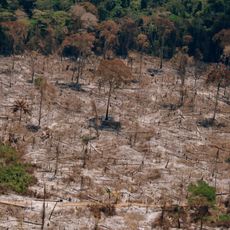
Chico Mendes, a renowned environmental activist and rubber tapper, was born here and his house now serves as a memorial to his fight for forest protection and the rights of forest workers. His story became so tied to the town that it stands as a symbol of resistance against Amazon destruction.
The community of curious travelers
AroundUs brings together thousands of curated places, local tips, and hidden gems, enriched daily by 60,000 contributors worldwide.