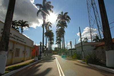
Brasiléia, Border municipality in Acre, Brazil
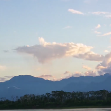
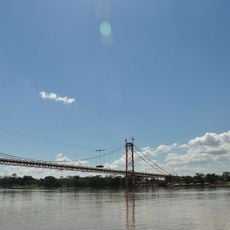
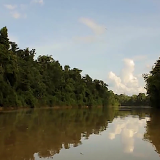
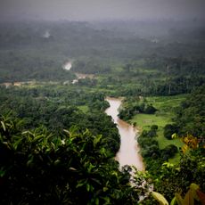
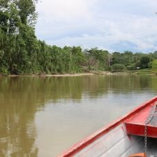
Brasiléia is an administrative municipality in Acre and extends along the border with Bolivia, with the Xapuri and Acre rivers forming natural boundaries. The settlement spreads across the southern region and is shaped by these waterways.
The municipality was founded in 1910 under the name Brasilia but was renamed in 1943 to avoid confusion with the new federal capital. This name change marked an important moment in the region's development and identity.
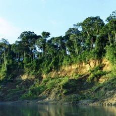
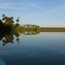
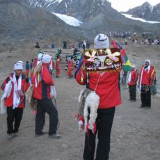
River life shapes the culture here, with traditional inhabitants maintaining practices passed down through generations in resource gathering and living with the landscape. You can see this way of life today in settlements along the waterways, where local knowledge remains central to daily routines.
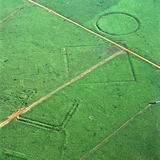
The BR-317 highway connects this municipality to Rio Branco and provides the main route for access. The area is intersected by rivers, so pay attention to local conditions and available paths when exploring the surroundings.
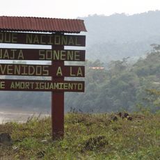
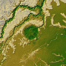
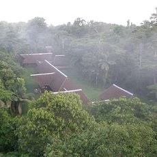
A protected reserve for sustainable resource management covers a significant portion of the municipality. This area preserves forest and traditional ways of living in the region.
Website: http://brasileia.ac.gov.br
GPS coordinates: -11.00104,-68.74879
Latest update: December 7, 2025 20:25
Manu National Park
341.9 km
Tambopata National Reserve
221.4 km
Bahuaja-Sonene National Park
263.5 km
Alto Purús National Park
316.7 km
Palácio Rio Branco
153.7 km
President Guillermo Billinghurst Bridge
182.9 km
Manuripi-Heath Amazonian Wildlife National Reserve
125.1 km
Amarakaeri Communal Reserve
317.1 km
Iturralde Crater
211.8 km
Museu da Borracha Governador Geraldo Mesquita
154 km
Acre geoglyphs
292 km
Purús Communal Reserve
269.9 km
Chico Mendes' house
156.9 km
Estádio José de Melo
154.2 kmEstádio Antônio Aquino Lopes
148.8 km
Chandless State Park
207.3 km
Jolljepunco
387.4 km
Cinajara
390.2 kmManu Airport
273 km
Rio Acre Ecological Station
163.1 km
Alto Juruá Extractive Reserve
444.6 km
Santa Rosa River
259.3 kmManú Chico River
385.2 km
Estádio Álvaro Felício Abrahão
47.2 km
Seringal Bom Destino
197.6 km
Cine Teatro Recreio
153.3 km
Busto Humbert Terrazas
2.7 km
Tambopata Research Center
255.3 kmVisited this place? Tap the stars to rate it and share your experience / photos with the community! Try now! You can cancel it anytime.
Discover hidden gems everywhere you go!
From secret cafés to breathtaking viewpoints, skip the crowded tourist spots and find places that match your style. Our app makes it easy with voice search, smart filtering, route optimization, and insider tips from travelers worldwide. Download now for the complete mobile experience.
A unique approach to discovering new places❞
— Le Figaro
All the places worth exploring❞
— France Info
A tailor-made excursion in just a few clicks❞
— 20 Minutes