Rio Branco, Capital city in western Acre, Brazil.
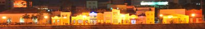
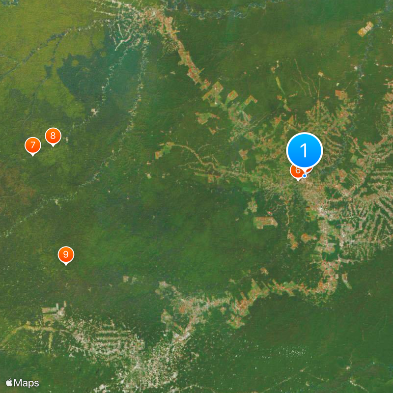
Rio Branco stretches along the banks of the Acre River at 172 meters above sea level, covering an area of 9,233 square kilometers. The city forms the political and economic center of Acre state in the western Amazon region of Brazil.
The settlement was officially established in 1882 and named after Baron of Rio Branco, who resolved territorial disputes between Brazil and Bolivia in 1903. His diplomatic work secured the region for Brazil and allowed the continued development of the settlement.
The Museum of Rubber preserves the heritage of latex extraction through exhibits of traditional tools, prehistoric fossils, and documentation of indigenous manufacturing methods. Visitors can trace how work in the rainforest shaped the lives of people across generations.
The international airport connects the city with major Brazilian destinations, while municipal buses and taxis provide transport within the urban area. The best time to visit falls between May and September, when rainfall is lower and roads are easier to navigate.
The settlement functions as a distribution center for regional products including medicinal plants, Brazil nuts, timber, and furniture from the surrounding Amazon forests. Traders from smaller communities come here regularly to sell their goods to intermediaries and directly to shops.
Location: Acre
Inception: December 28, 1882
Elevation above the sea: 172 m
Shares border with: Bujari, Porto Acre, Senador Guiomard, Capixaba, Xapuri, Brasiléia, Sena Madureira
Website: http://portalcgm.riobranco.ac.gov.br
GPS coordinates: -9.97806,-67.81167
Latest update: December 14, 2025 22:45
Photo license: CC BY-SA 3.0
Palácio Rio Branco
421 m
Museu da Borracha Governador Geraldo Mesquita
789 m
Chico Mendes' house
4.3 km
Estádio José de Melo
979 m
Estádio Antônio Aquino Lopes
4.7 km
São Francisco National Forest
168.2 km
Macauã National Forest
156.2 km
Western Amazon Ecological Corridor
156.9 km
O Casarão
557 m
Lago do Amapá Environmental Protection Area
10.9 km
Igarapé São Francisco Environmental Protection Area
4.4 km
São Francisco National Forest
162.6 km
Parque Histórico e Ambiental José Plácido de Castro
11.5 km
Alto Santo
7.3 km
Seringal Bom Destino
44.3 km
Residência da Família Esteves
501 m
Cacimbão da Capoeira
974 m
Árvore Gameleira
452 m
Igreja da Nossa Senhora da Conceição
520 m
Barragem JJ_V
39.4 km
Sociedade Recreativa Tentamen
495 m
Cachoeira de Capatará
26.9 km
Barragem Colorado
56.2 km
Barragem Esperança I
37.7 km
Barragem Campos do Iguatu 1
26.8 km
Barragem Estância PA 2
37.8 km
Barragem JJ
38.6 km
Barragem T40
29.3 kmVisited this place? Tap the stars to rate it and share your experience / photos with the community! Try now! You can cancel it anytime.
Discover hidden gems everywhere you go!
From secret cafés to breathtaking viewpoints, skip the crowded tourist spots and find places that match your style. Our app makes it easy with voice search, smart filtering, route optimization, and insider tips from travelers worldwide. Download now for the complete mobile experience.
A unique approach to discovering new places❞
— Le Figaro
All the places worth exploring❞
— France Info
A tailor-made excursion in just a few clicks❞
— 20 Minutes