Spalt, municipality of Germany
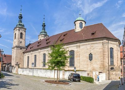
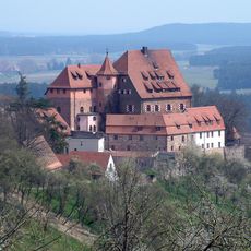
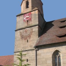
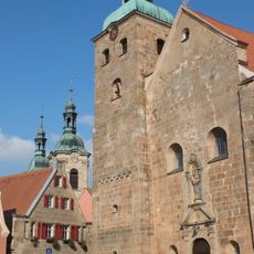
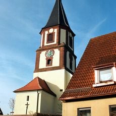
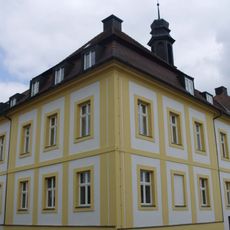
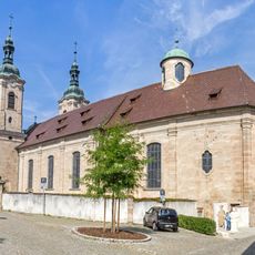
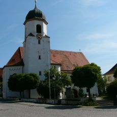
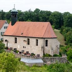
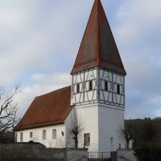
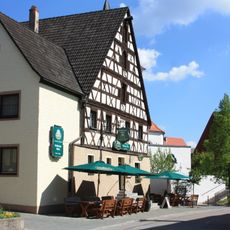
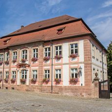
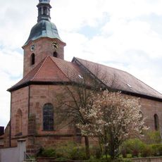
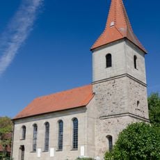
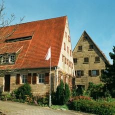
Spalt is a small town in the Roth region featuring a historic town center with narrow streets and traditional half-timbered and stone buildings. The place has a compact core with a church, local shops, and squares that shape daily life.
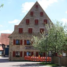
Spalt developed from a medieval settlement and became prosperous starting in the 16th century through hop cultivation. The town gained its present form as wealth from this agricultural trade shaped its growth and construction.
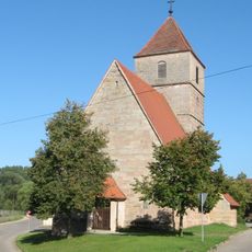
Spalt has long been known for its hop-growing tradition, which still shapes the character of the town today. The narrow streets and historic buildings show how closely this agricultural practice was woven into the lives of residents.
The town is very compact, making it easy to explore on foot with adequate parking at the edge of the center. Most sights and shops are within a few minutes walk.
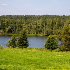
Spalt is considered one of the centers of German hop growing and still hosts hop farmers who work for breweries across Europe. This role in beer production makes it a surprisingly important place in the global food industry.
The community of curious travelers
AroundUs brings together thousands of curated places, local tips, and hidden gems, enriched daily by 60,000 contributors worldwide.