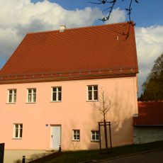
Euerwanger Bühl, Summit in Greding, Germany.
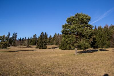
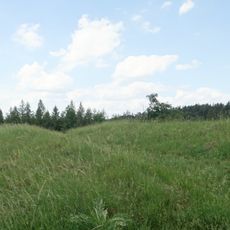
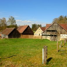
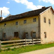
Euerwanger Bühl rises to 595.3 meters above sea level in the Franconian Alb region of Bavaria, featuring forested slopes composed of layered Malm Epsilon dolomite formations and protected grassland areas on its southwestern face.
Historical records from around 1800 describe Johann Kaspar Bundschuh documenting this peak as the highest point in the former Principality of Eichstätt, renowned for its extensive herb varieties and commanding views reaching as far as Nuremberg.
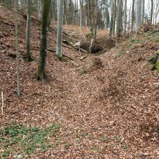
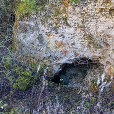
Archaeological excavations in the mountain's cave system have revealed Mesolithic stone tools and campfire traces dating back 9,000 to 10,000 years, along with Pleistocene animal remains including mammoth, horse, and bison bones left by prehistoric hunters.
The summit features a Naturfreundehaus lodge serving as a rest stop for hikers, while the ICE high-speed rail tunnel connecting Nuremberg to Munich passes directly through the mountain, creating a modern transportation landmark.
Carbon-14 dating of flowstone formations within the mountain's cave system has revealed geological ages spanning from 32,000 to 180,000 years, making it a significant site for paleontological and archaeological research in Bavaria.
The community of curious travelers
AroundUs brings together thousands of curated places, local tips, and hidden gems, enriched daily by 60,000 contributors worldwide.