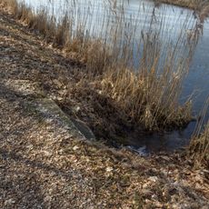
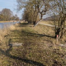
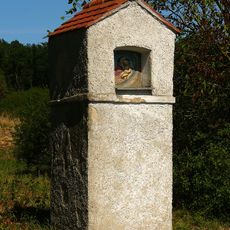
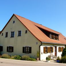
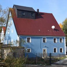
Hoher Brunnen bei Sollngriesbach, Natural layer spring in Berching, Germany.
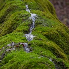
Hoher Brunnen bei Sollngriesbach is a limestone tuff terrace about two kilometres west of Sollngriesbach, a district of Berching, on the southern slope of the Sauleite valley. Two springs with water at roughly 8 °C join into a small brook that flows over a step, depositing calcium carbonate on moss to form terraces about 40 metres long, 25 metres wide and 7 metres high, designated geotope 373Q004.
The terraces formed at two springs where water from the Alb plateau, about 8 °C, emerges above an Ornatenton clay layer and joins into a small brook. Moss growth promotes calcium precipitation, building tufa terraces roughly 40 m long, 25 m wide and 7 m high, registered as geotope 373Q004.
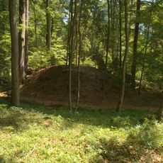
The Hoher Brunnen is registered as geotope 373Q004, a designation that records the sinter terraces for geological research and teaching. The nearby Frankenweg long-distance trail and trail number 4 from Berching bring walkers past the site, and the terraces are visited alongside the prehistoric burial mound field and the Burgstall Hohenbrunnen to the north.
The spring sits along a marked hiking route and is easy to reach on foot from nearby areas. Wear sturdy shoes since paths can become slippery, especially after rain.
The water remains consistently cold throughout the year, creating specific conditions where specialized mosses and moisture-loving plants thrive. This constant temperature allows uncommon species to flourish in these conditions.
The community of curious travelers
AroundUs brings together thousands of curated places, local tips, and hidden gems, enriched daily by 94,368 contributors worldwide.