
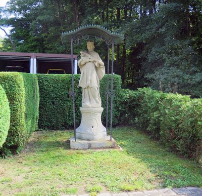
Standbild, cultural heritage monument D-6-74-163-96 (0) in Knetzgau, Bavaria
Location: Knetzgau
Address: Böhlstraße, neben der Brücke, Böhlgrund
GPS coordinates: 49.96023,10.56357
Latest update: March 13, 2025 15:51
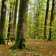
Naturwald Kleinengelein
3.3 km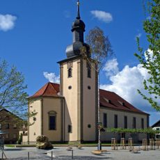
Pfarrkirche
3.6 km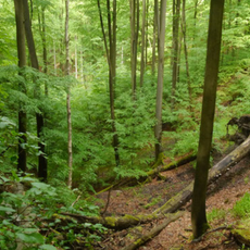
Naturwald Knetzberge-Böhlgrund
2.1 km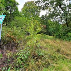
Beerberg-Südhang
2.2 km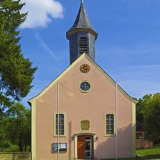
Pfarrkirche
2.8 km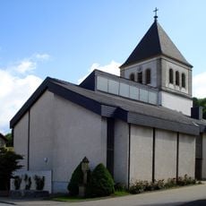
Pfarrkirche
494 m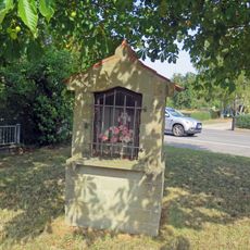
Wegkapelle
996 m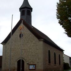
Kapelle
2.6 km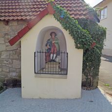
Wegkapelle
557 m
Naturwaldreservat Mordgrund
1.1 km
Lourdeskapelle
2.5 km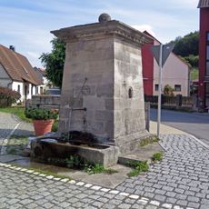
Brunnen
3.6 km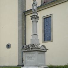
Kriegerdenkmal
3.6 km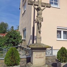
Wegkreuz
641 m
Schule
2.6 km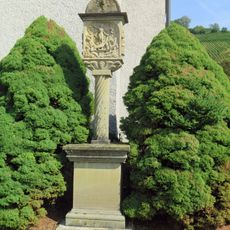
Bildstock
471 m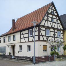
Wohnhaus
3.6 km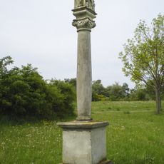
Bildstock
3.7 km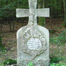
Wegkreuz
1.6 km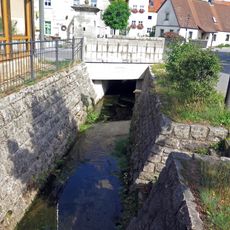
Bacheinfassung
3.6 km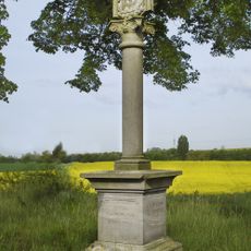
Bildstock
2.4 km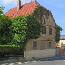
Wohnhaus
726 m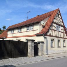
Wohnhaus
3.6 km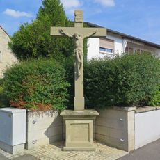
Dorfkreuz
2.6 km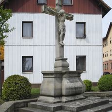
Wegkreuz
3.5 km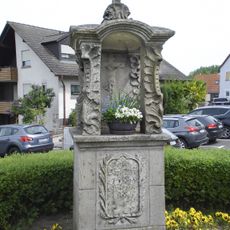
Bildstock
3.6 km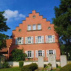
Pfarrhaus
2.7 km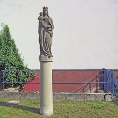
Marienfigur
551 mVisited this place? Tap the stars to rate it and share your experience / photos with the community! Try now! You can cancel it anytime.
Discover hidden gems everywhere you go!
From secret cafés to breathtaking viewpoints, skip the crowded tourist spots and find places that match your style. Our app makes it easy with voice search, smart filtering, route optimization, and insider tips from travelers worldwide. Download now for the complete mobile experience.

A unique approach to discovering new places❞
— Le Figaro
All the places worth exploring❞
— France Info
A tailor-made excursion in just a few clicks❞
— 20 Minutes