
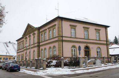
Ringstraße 72, repräsentativer Verwaltungsbau, zweigeschossiger Walmdachbau, Mittelrisalit mit Staatswappen, Ecklisenen und Gliederungen in Naturstein, in historistischen neuklassizistischen Formen, 1891
Location: Feuchtwangen
Address: Ringstraße 72
GPS coordinates: 49.16770,10.33504
Latest update: March 5, 2025 11:33
Fränkisches Museum Feuchtwangen
160 m
Ringstraße 86
188 m
Am Spittel 7
104 m
Museumstraße 13
160 m
Jahnstraße 11
204 m
Marktplatz 8
238 m
Postgasse 6
206 m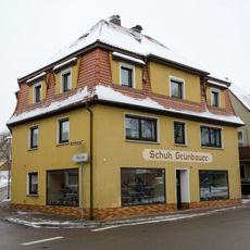
Ringstraße 60
139 m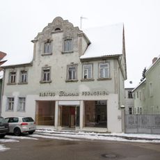
Spitalstraße 7
182 m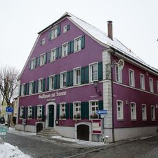
Museumstraße 2
231 m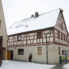
Museumstraße 18
119 m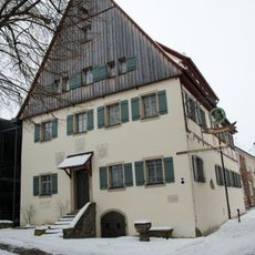
Museumstraße 19
107 m
Postgasse 2
223 m
Postgasse 4
217 m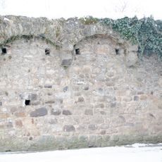
Stadtmauer mit Grabenbereich
11 m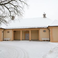
Ringstraße 28
11 m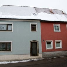
Ringstraße 49
144 m
Museumstraße 11
175 m
Ringstraße 66
69 m
Museumstraße 1
221 m
Sandweg 1
198 m
Hinterer Spitzenberg 1
176 m
Spitalstraße 13
173 m
Spitalstraße 14
196 m
Spitalstraße 15 (Feuchtwangen)
169 m
Spitalstraße 20
194 m
Kronenwirtsberg 3
137 m
Museumstraße 8
202 mVisited this place? Tap the stars to rate it and share your experience / photos with the community! Try now! You can cancel it anytime.
Discover hidden gems everywhere you go!
From secret cafés to breathtaking viewpoints, skip the crowded tourist spots and find places that match your style. Our app makes it easy with voice search, smart filtering, route optimization, and insider tips from travelers worldwide. Download now for the complete mobile experience.

A unique approach to discovering new places❞
— Le Figaro
All the places worth exploring❞
— France Info
A tailor-made excursion in just a few clicks❞
— 20 Minutes